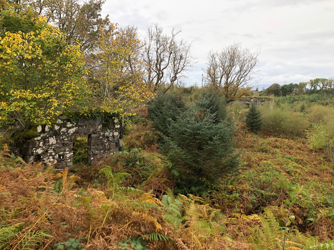
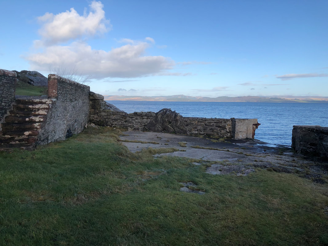
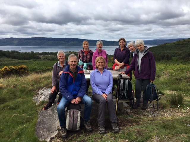
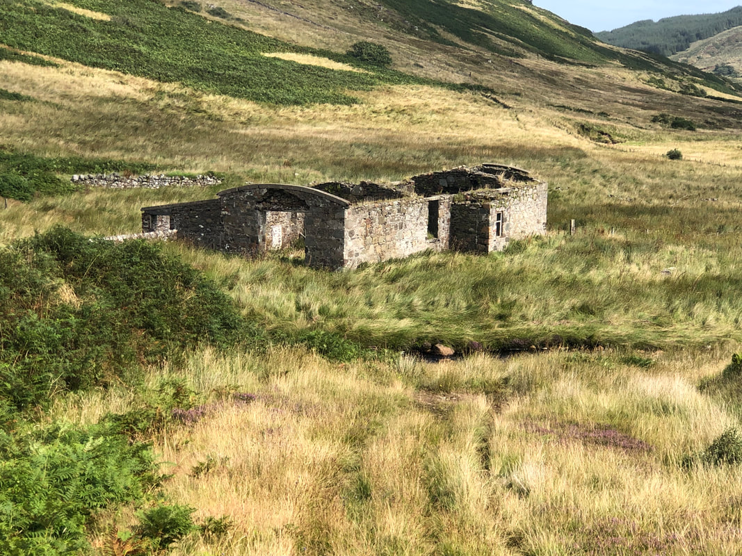
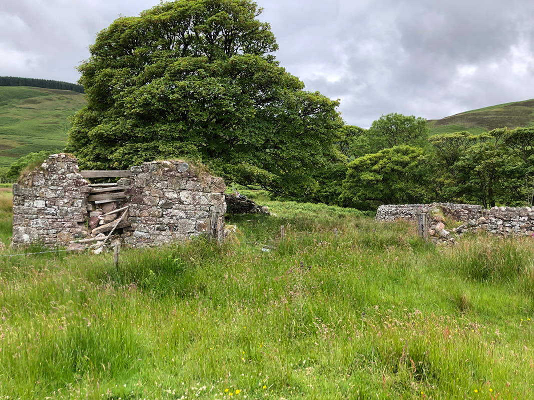
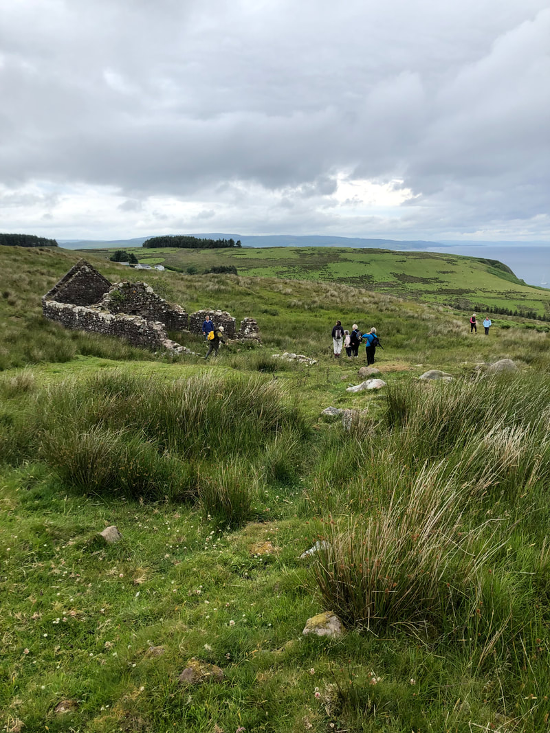
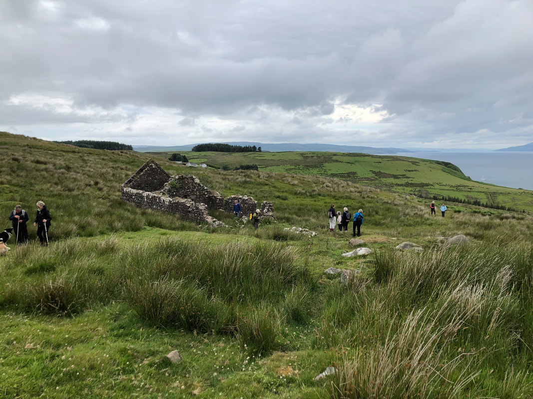
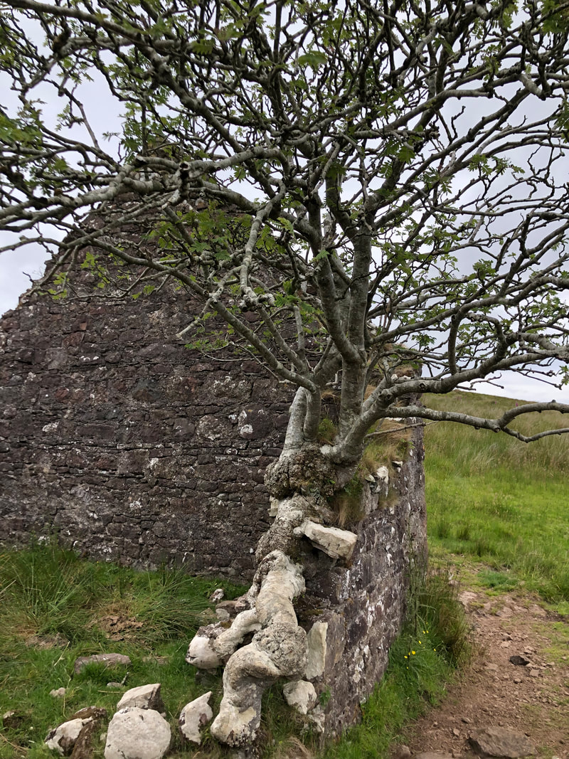
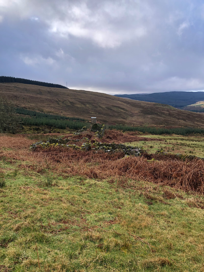
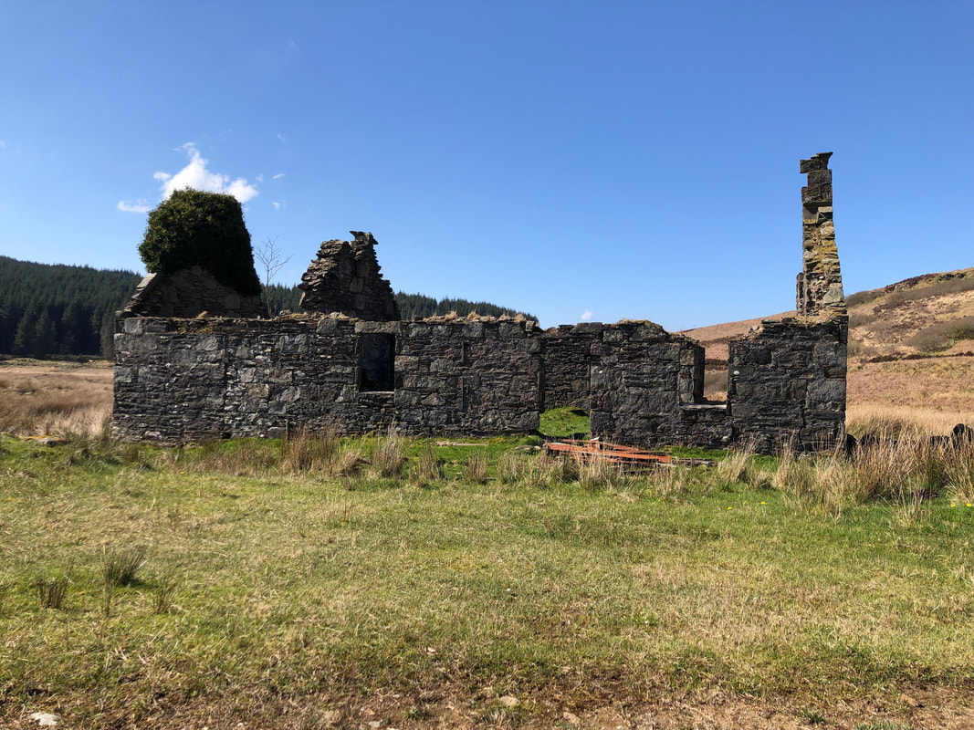
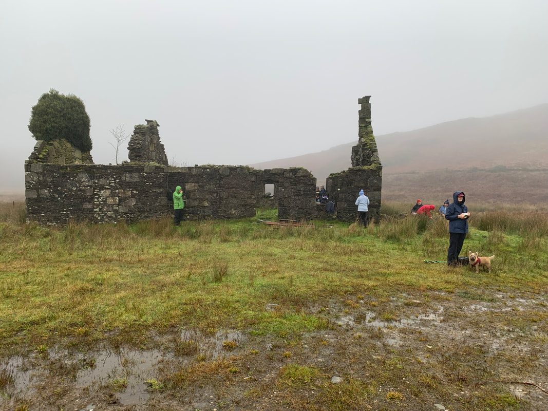
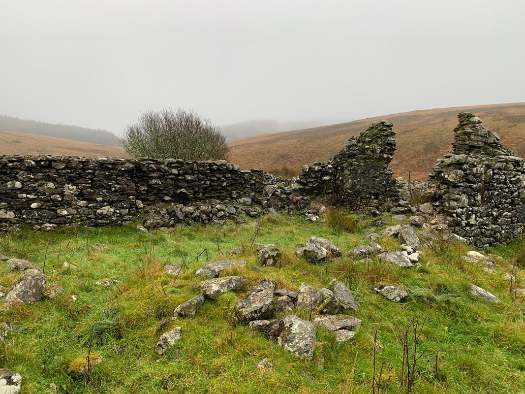
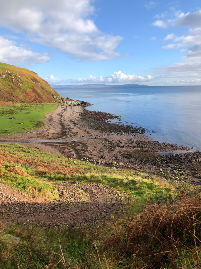
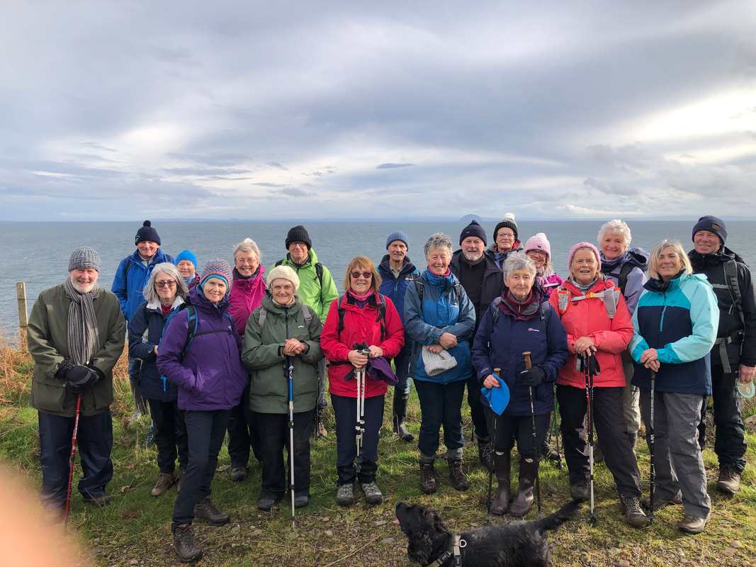
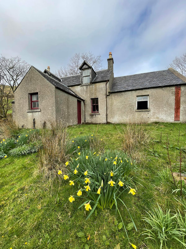
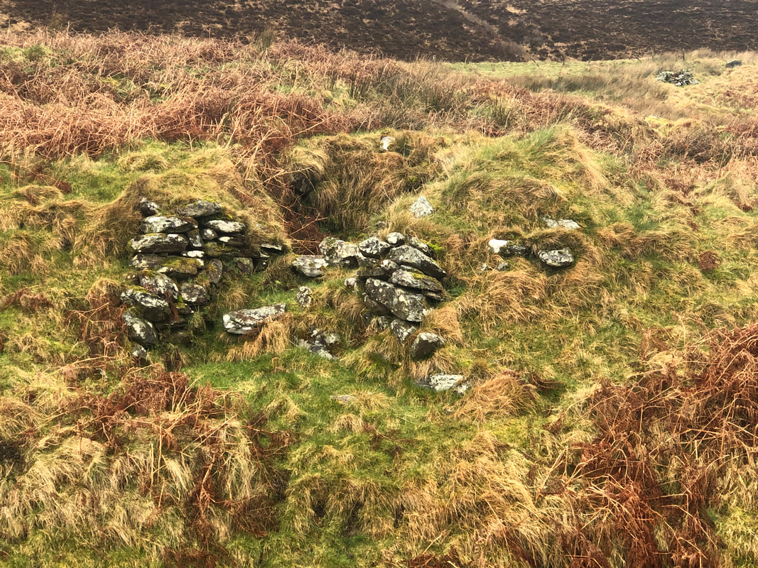
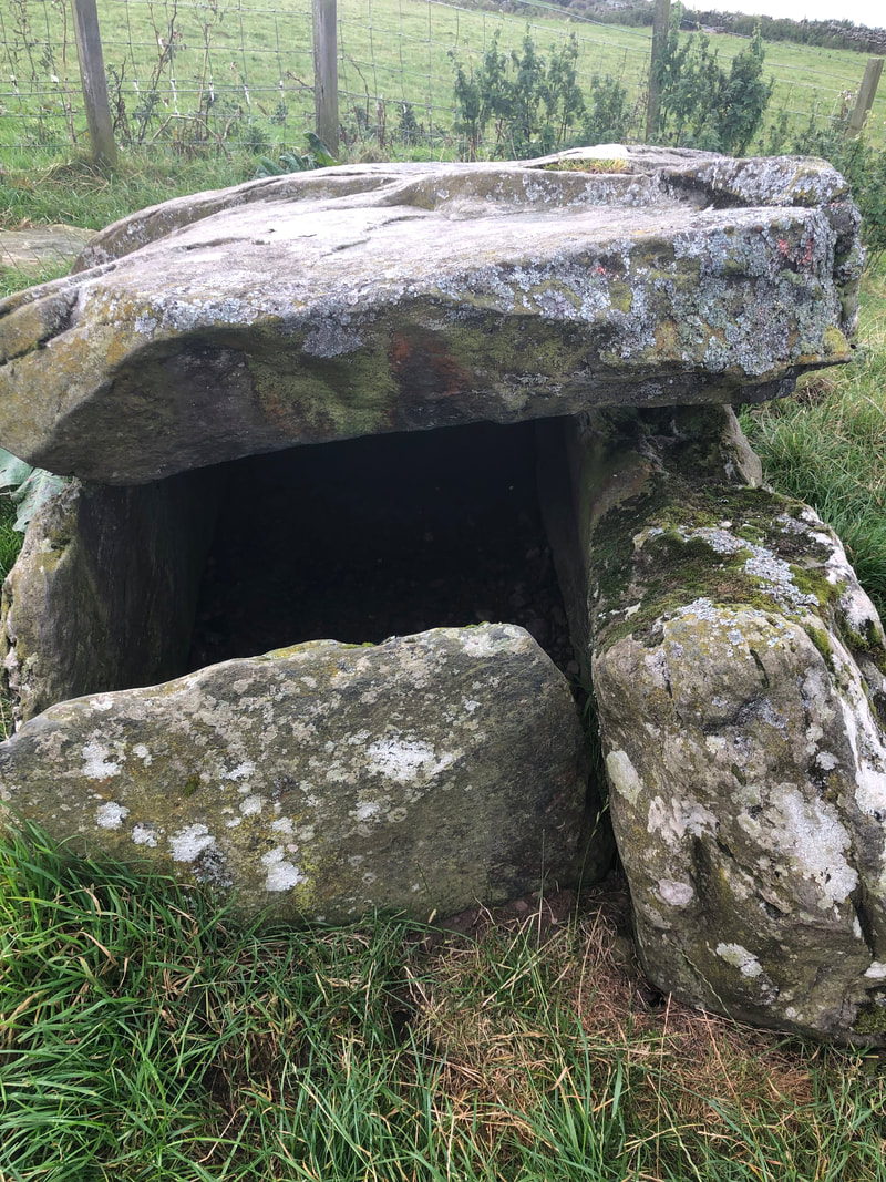
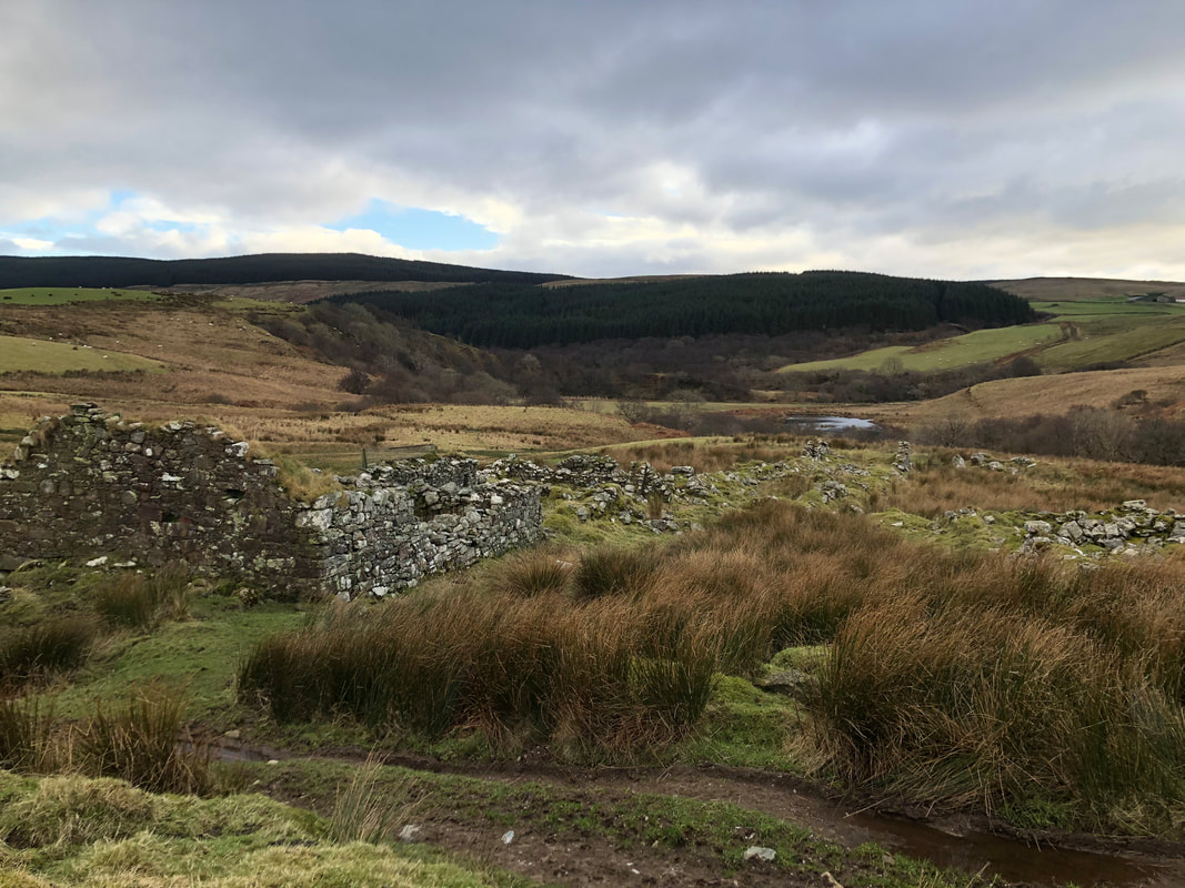
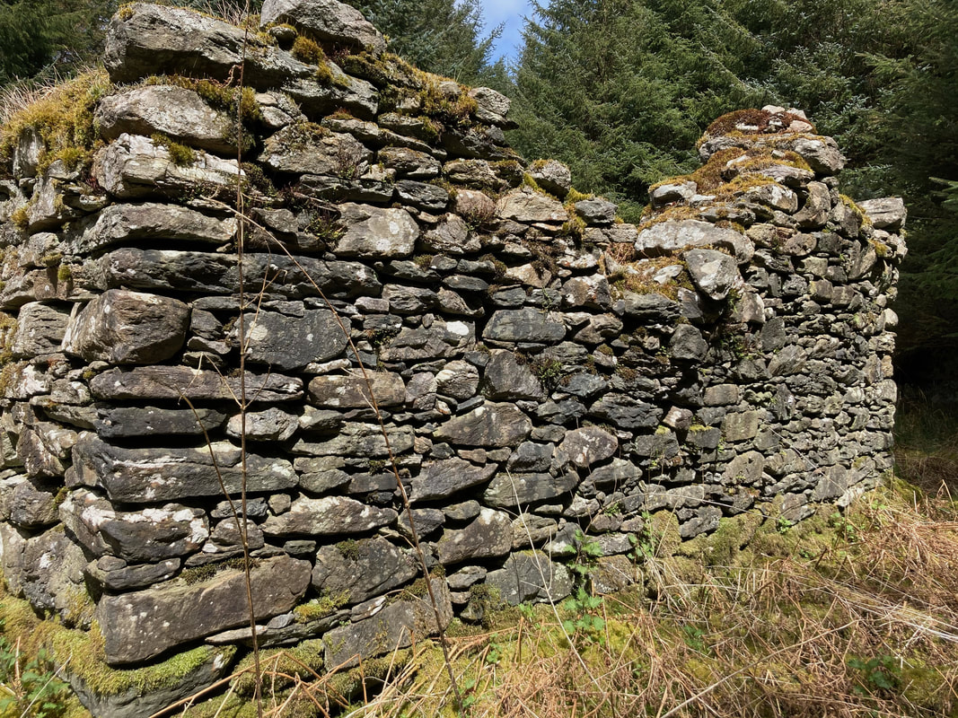
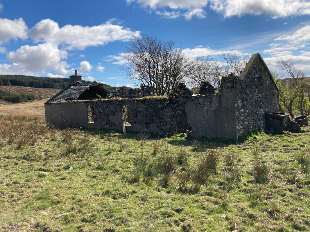
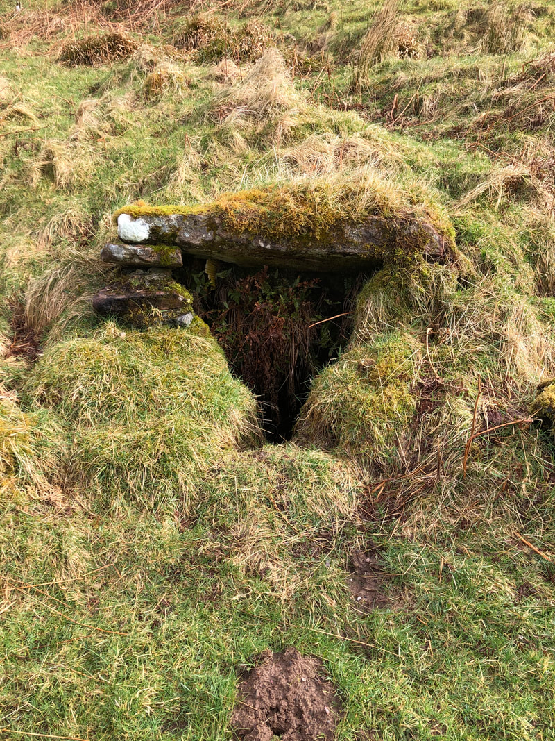
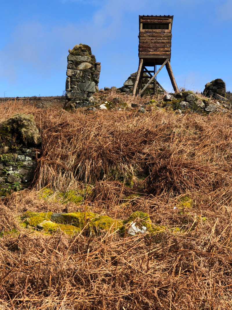
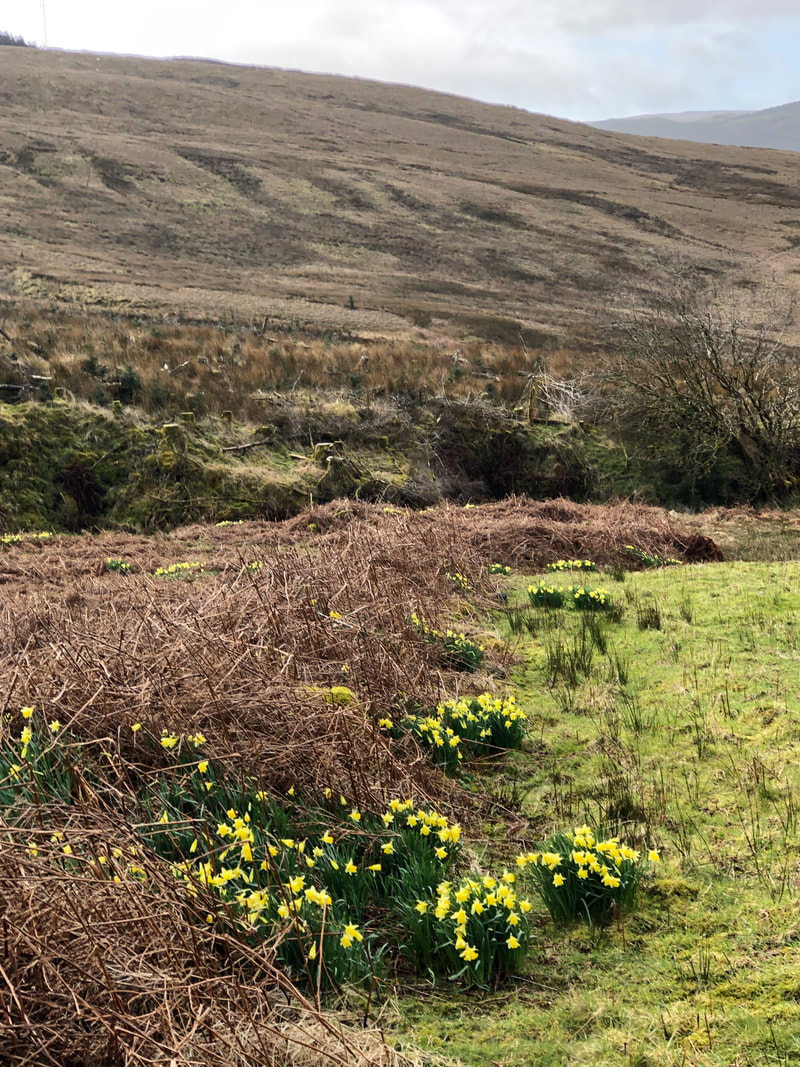
Walk to Glenrea and Glenahanty
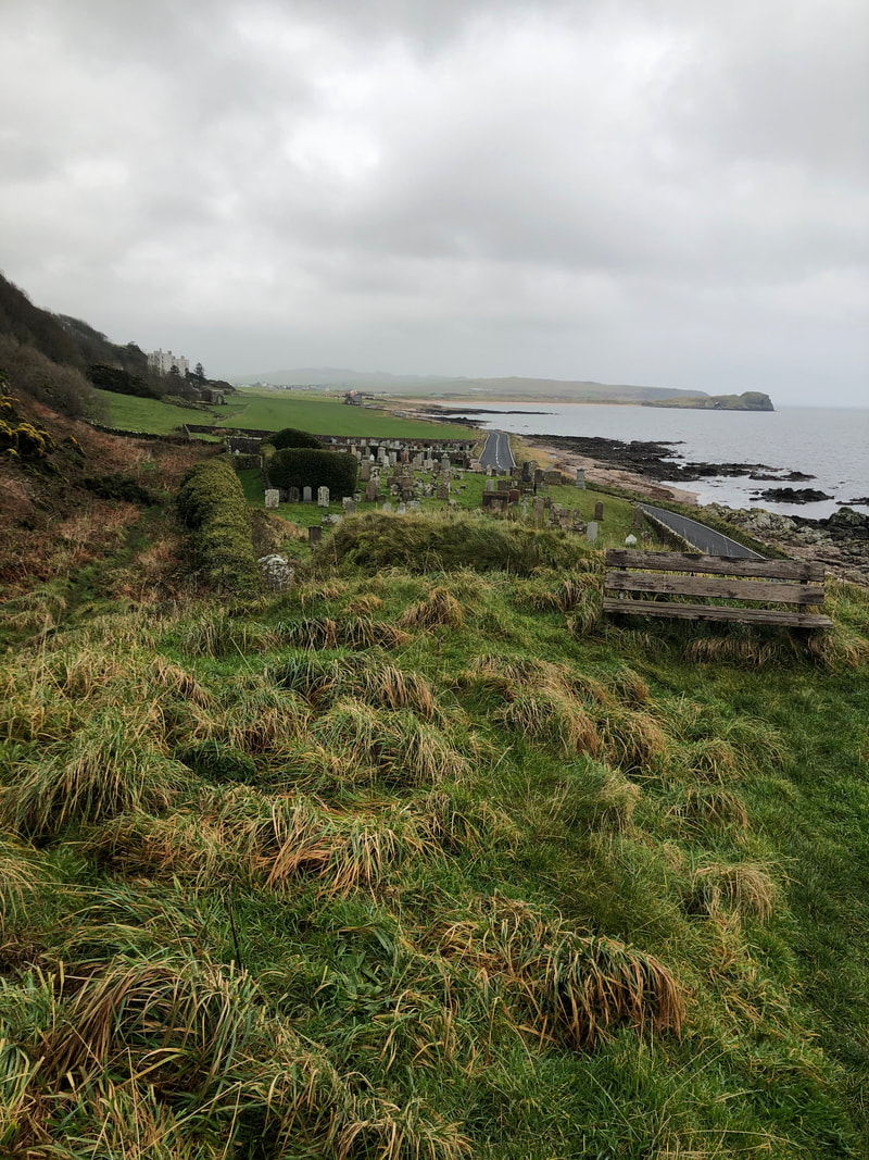
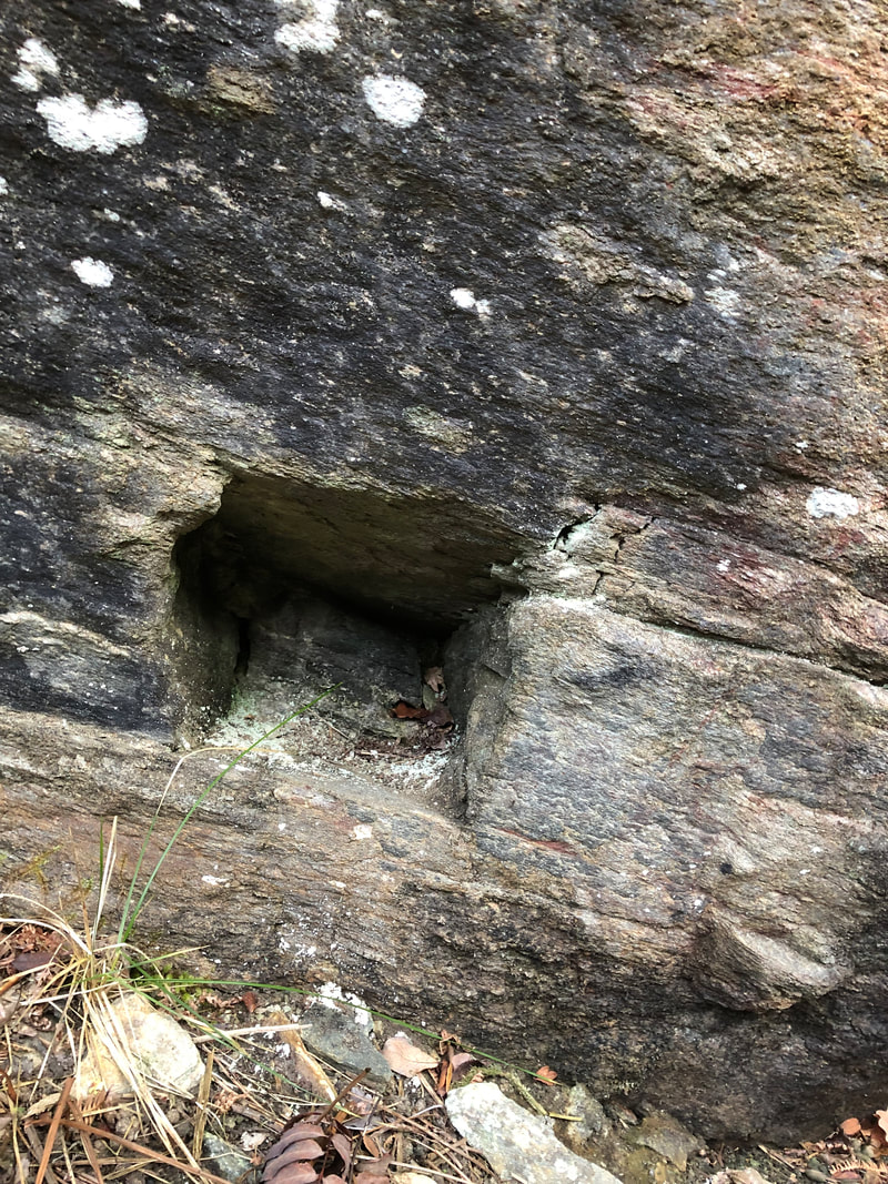
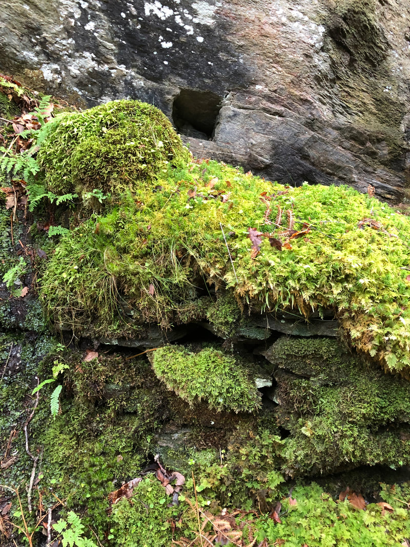
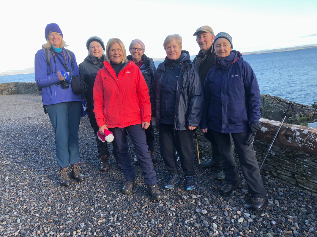
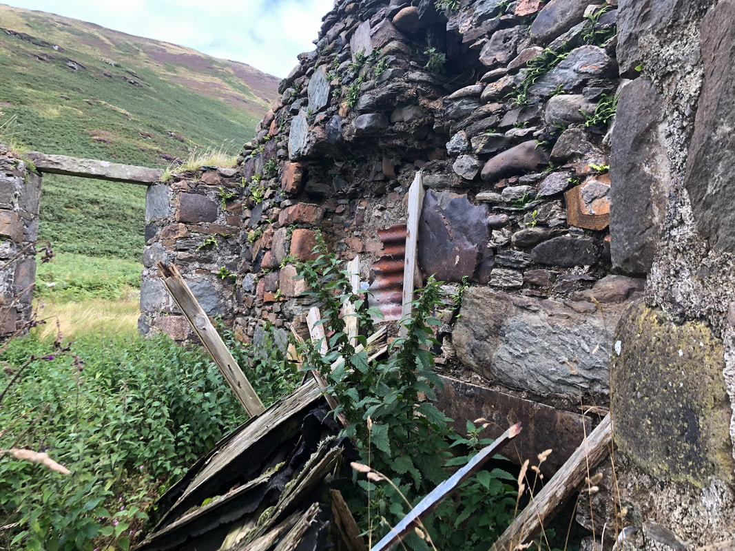
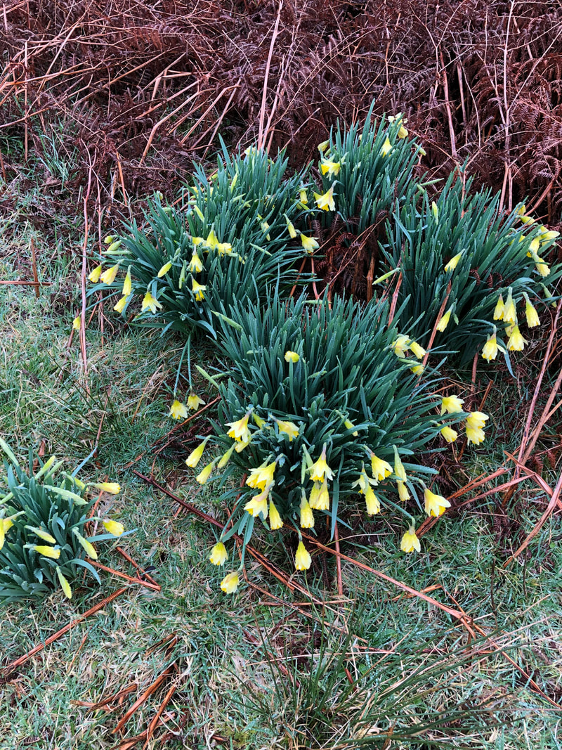
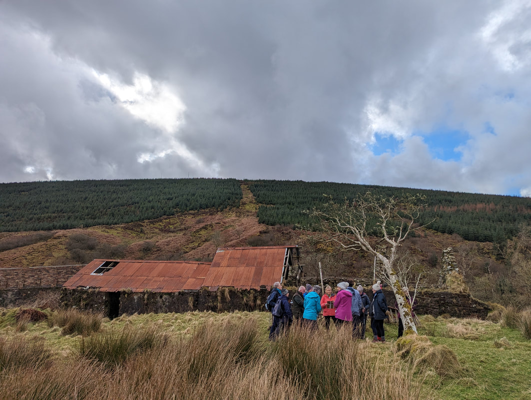
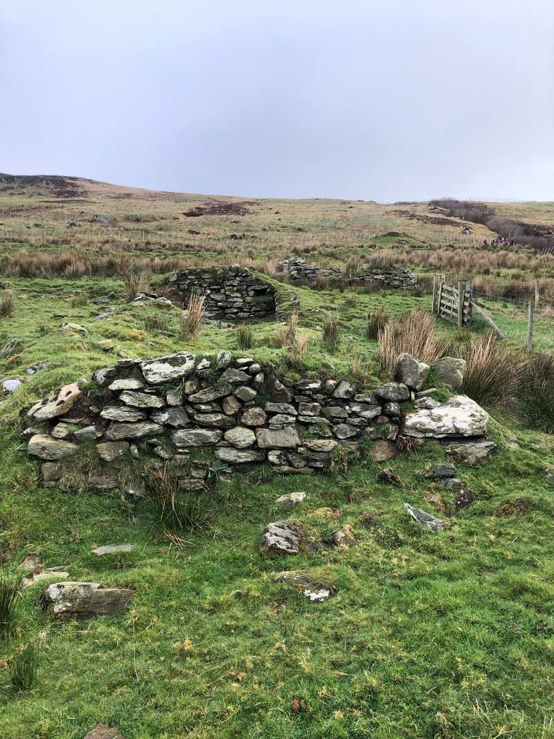
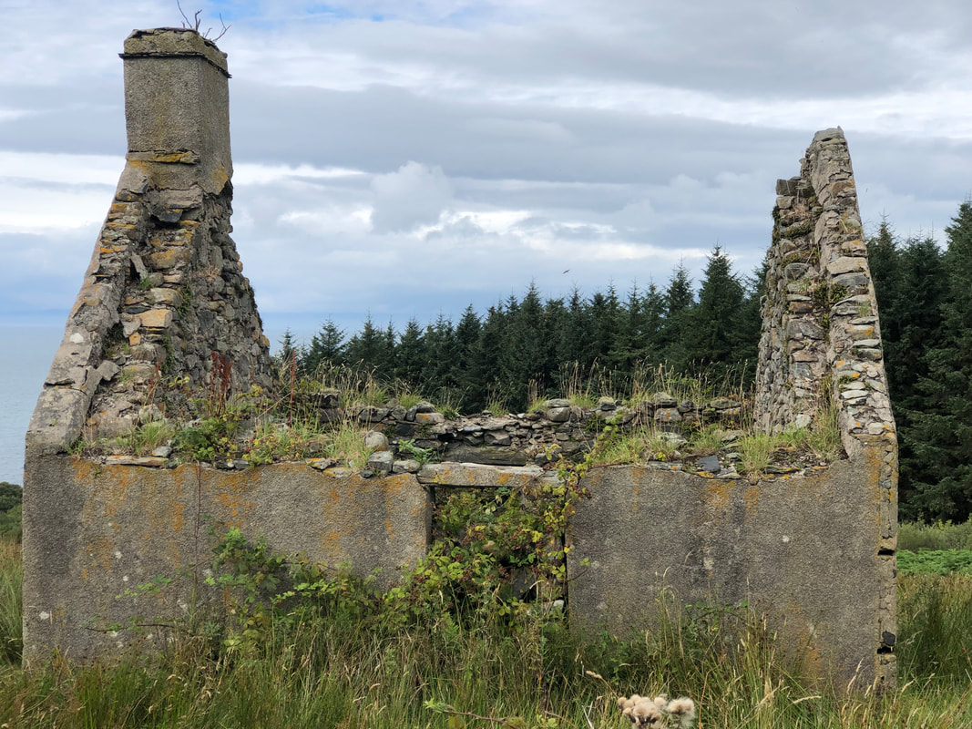
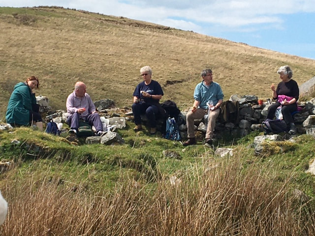
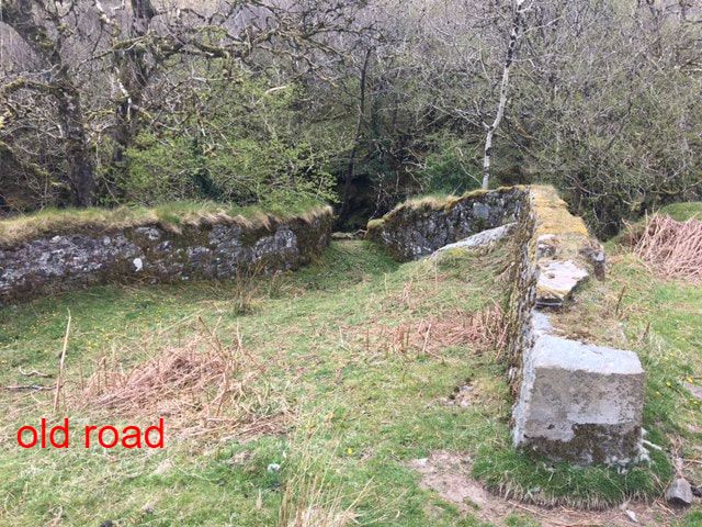
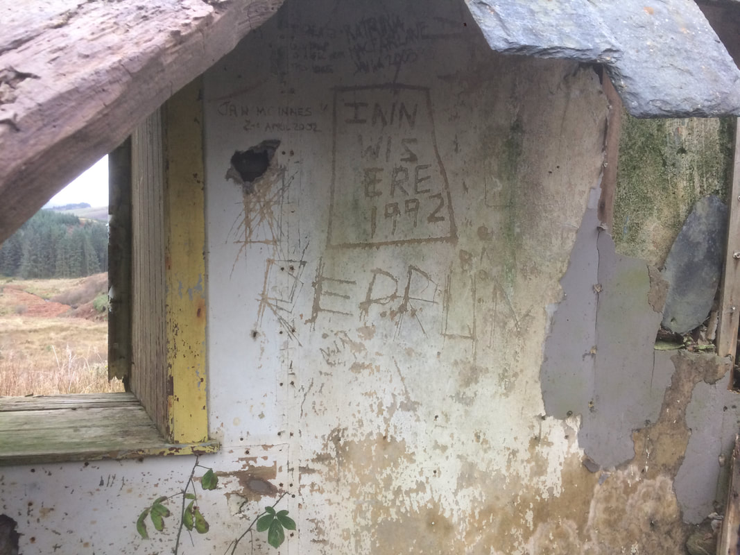
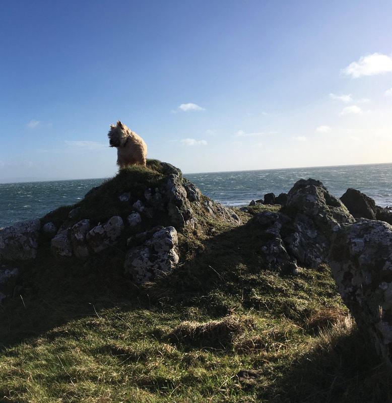
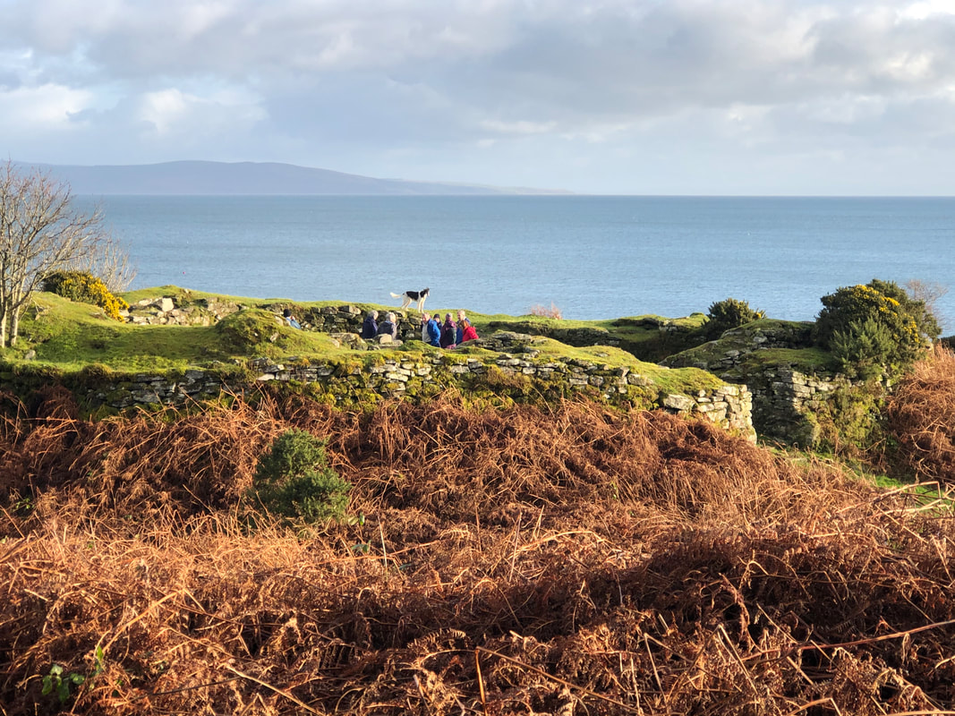
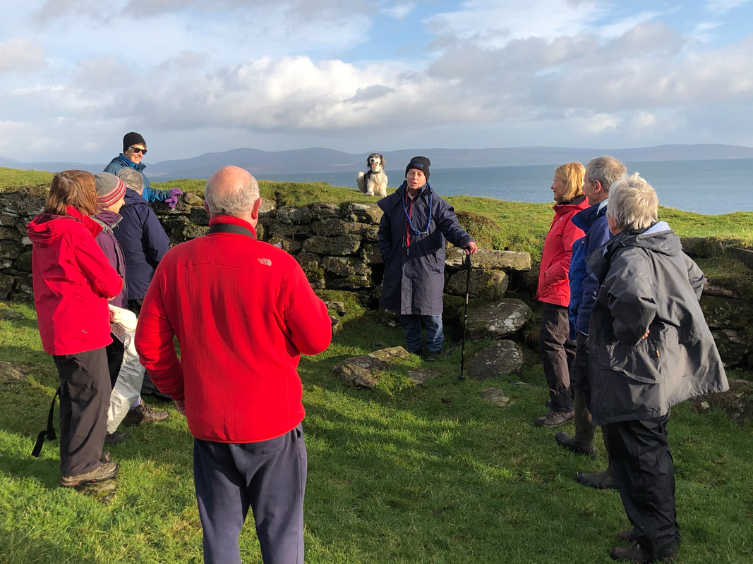
On Sunday 3rd March 13 of us walked to the ruins of the old farmships of Glenrea and Glenahanty. Glenrea is a popular walk in the spring due to the daffodils as pictured below. Meaning smooth glen, Glenrea was lived in until the early 20th century. Farmers from the Macharioch side of the parish travelled here along an old road to cut peats, starting off at 4am. This old road started at Keprigan Farm and the old bridge and part of the road could still be seen below Glenrea. Dr Duncan McCallum, son of the roadman, was born here. A graduate of Glasgow University and a doctor in Campbeltown until his death in 1951.
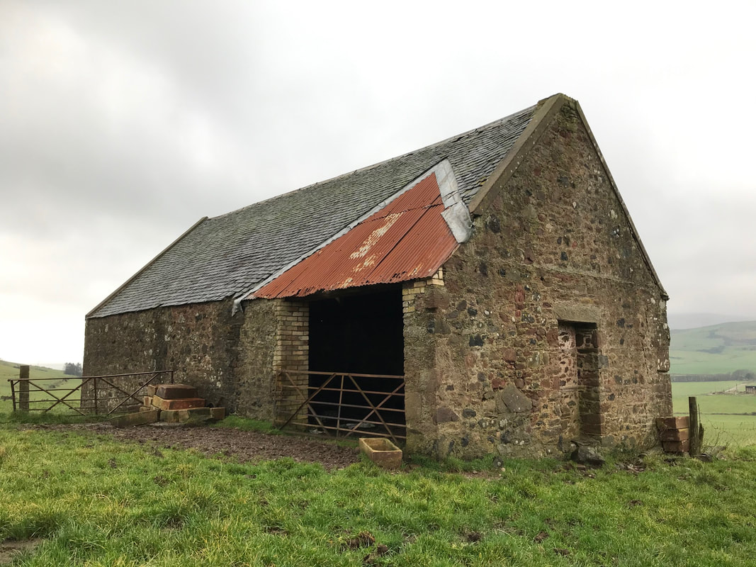
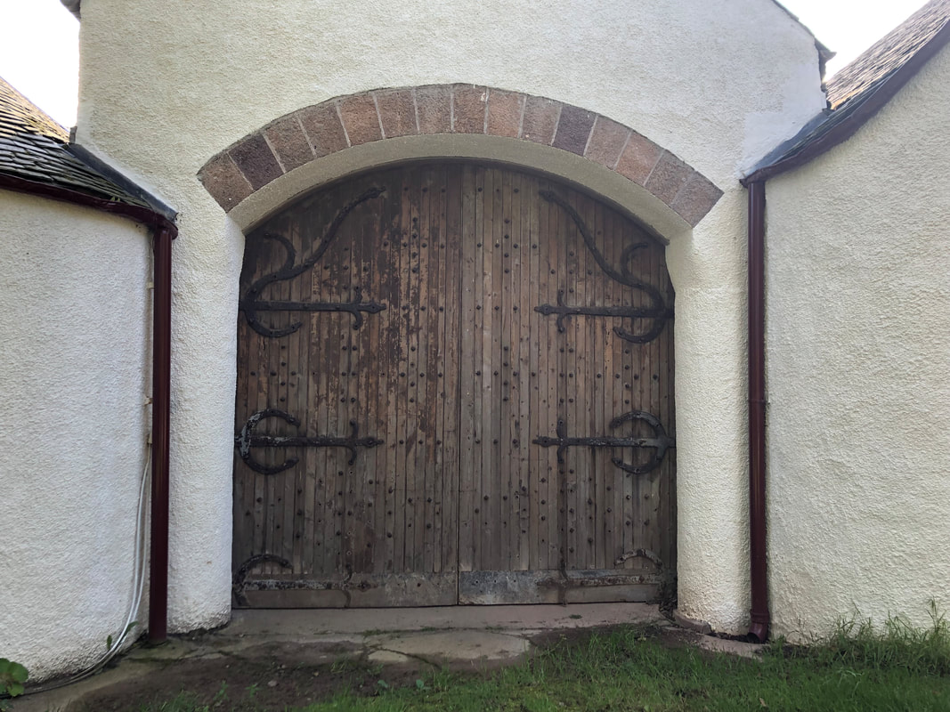
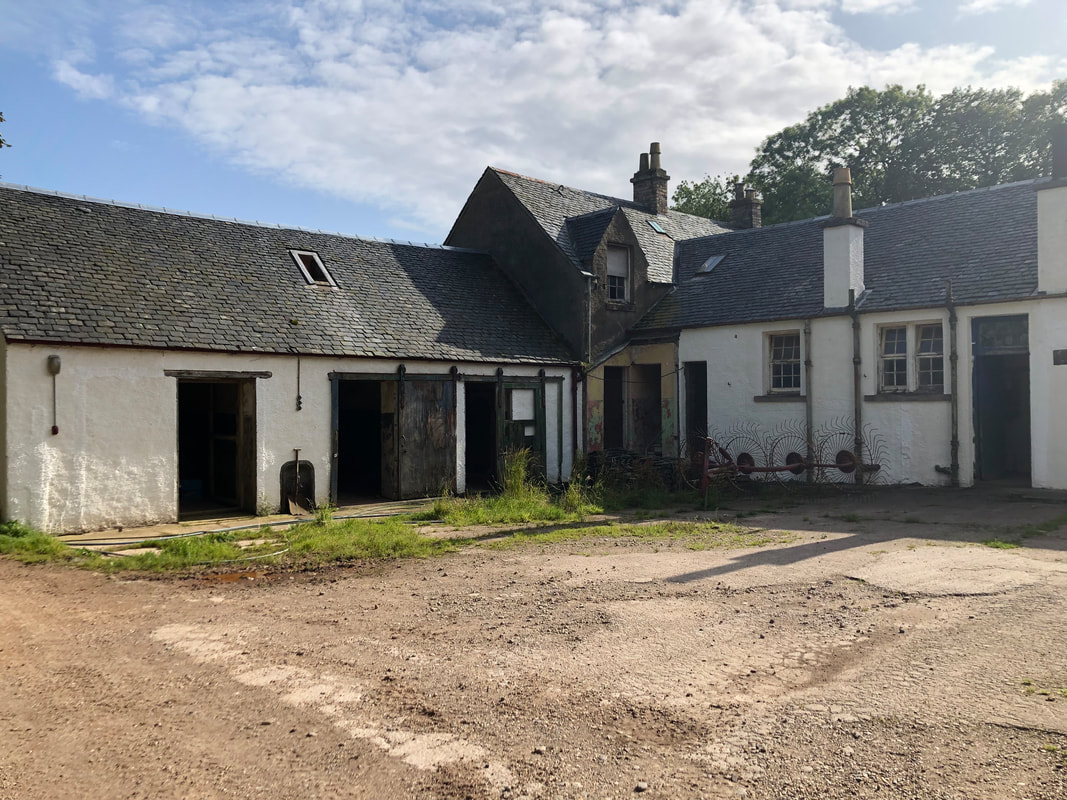
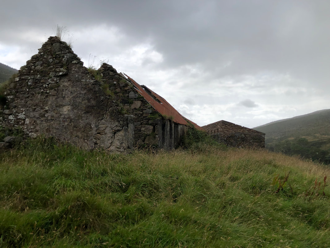
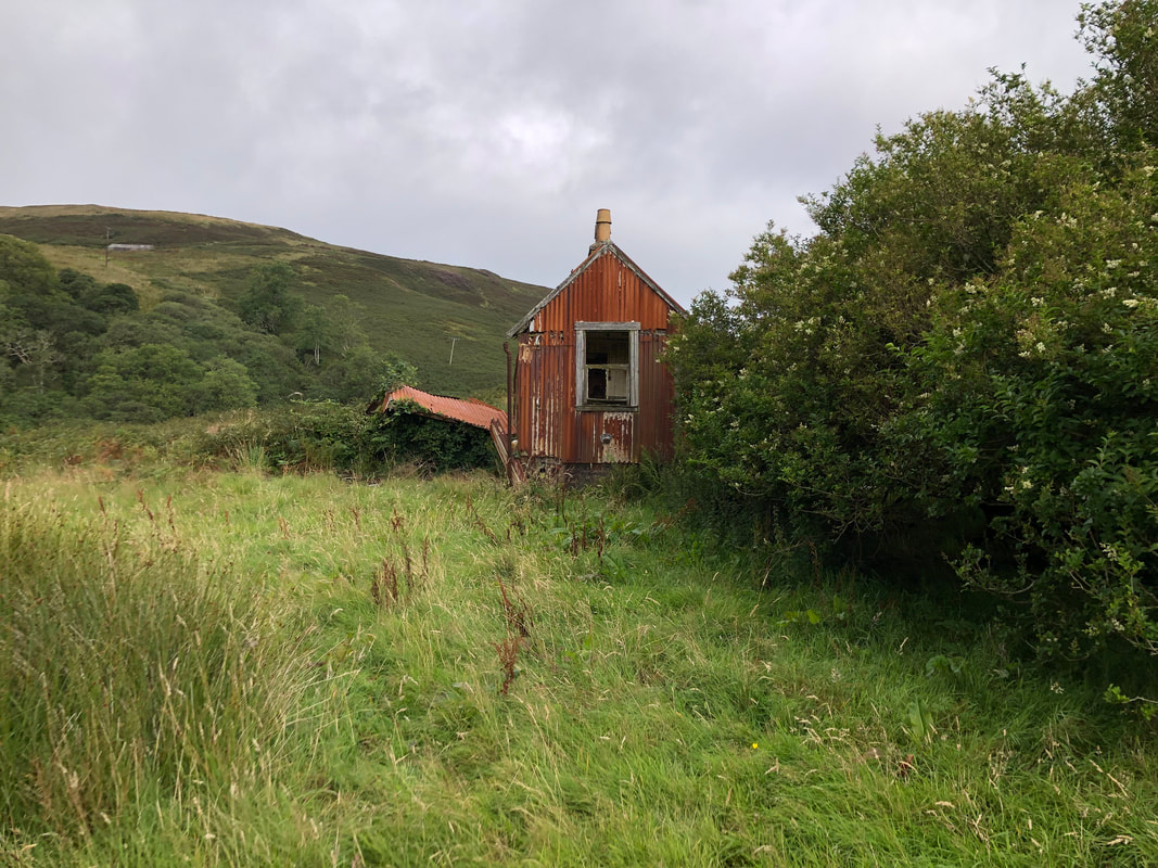
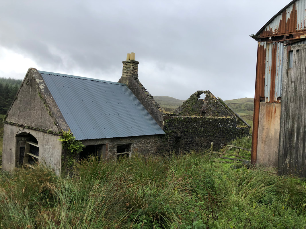
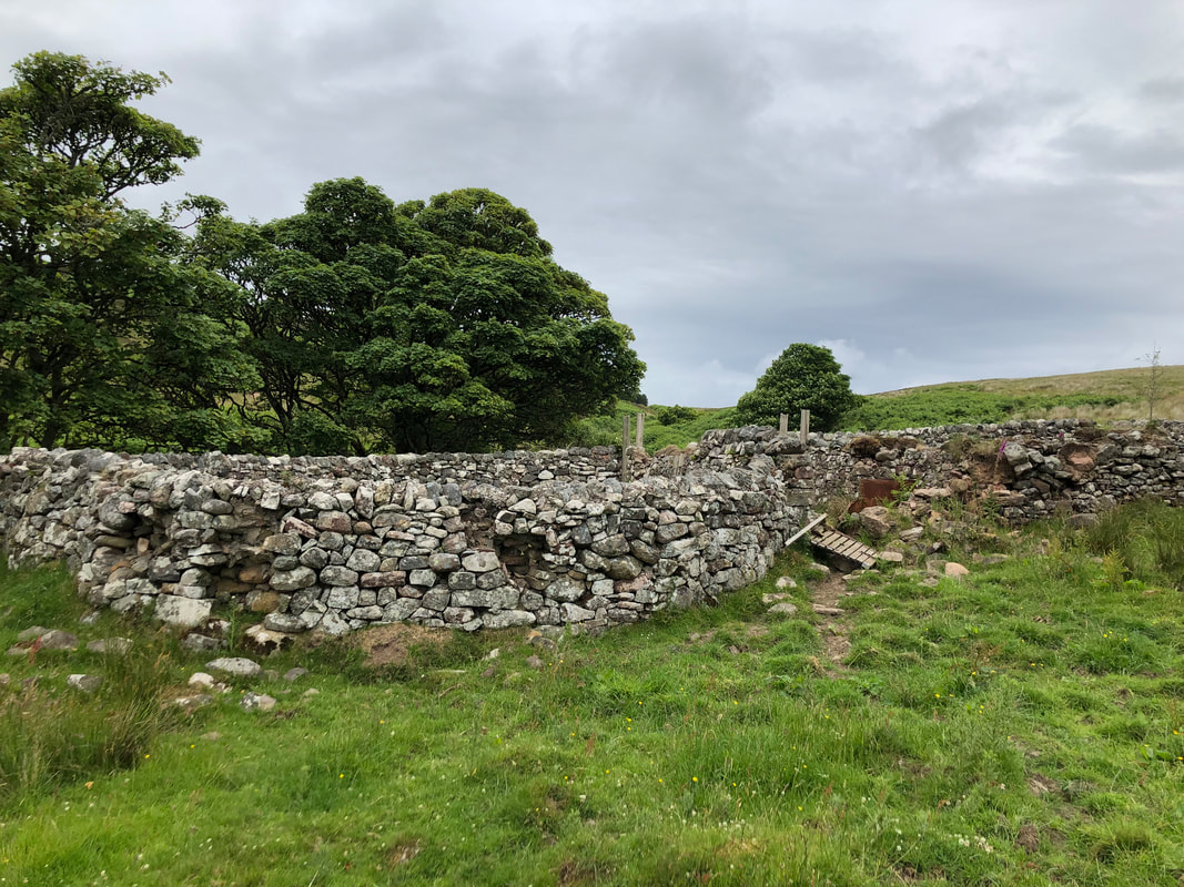
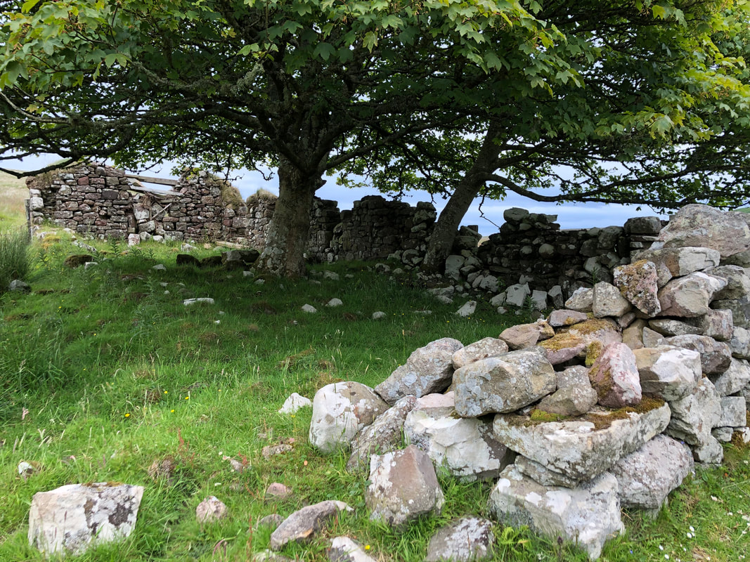
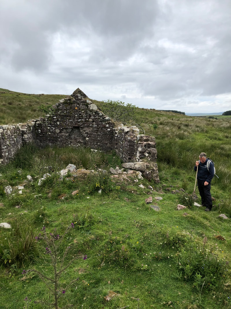
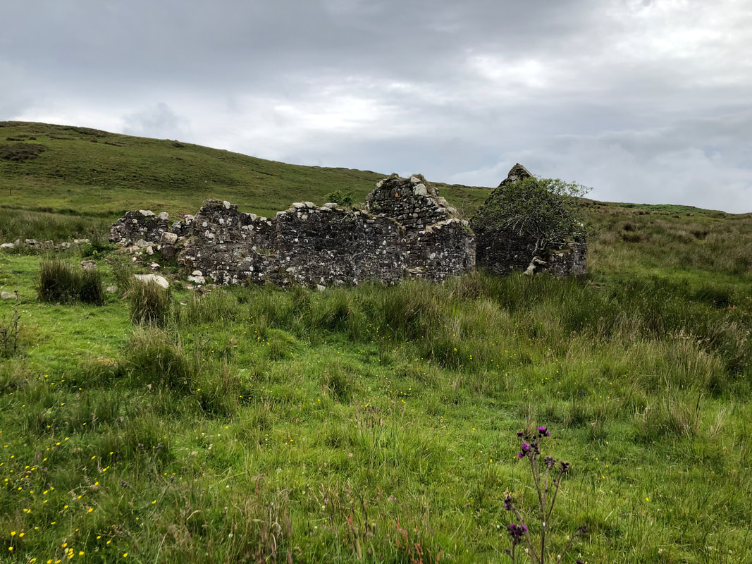
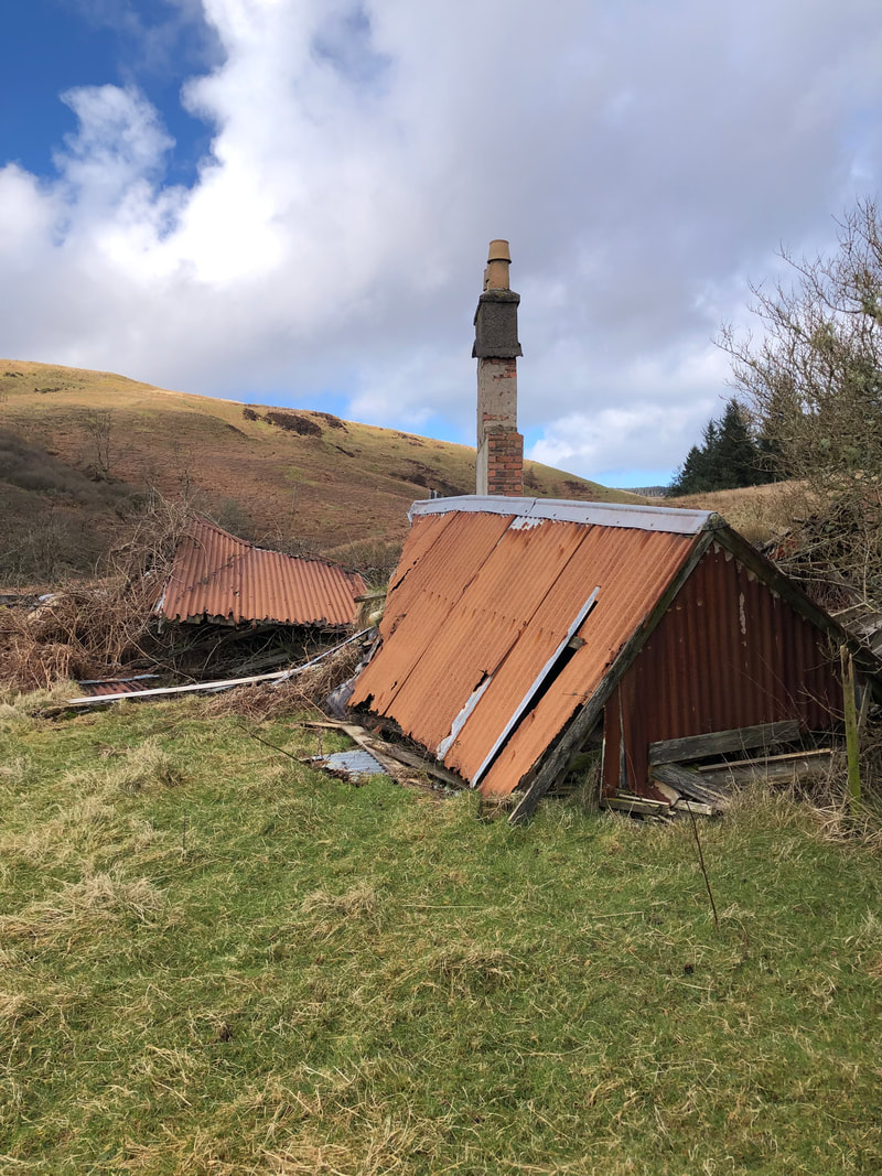
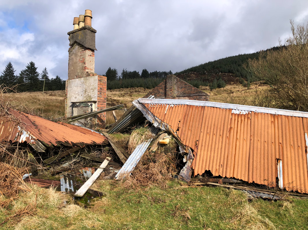
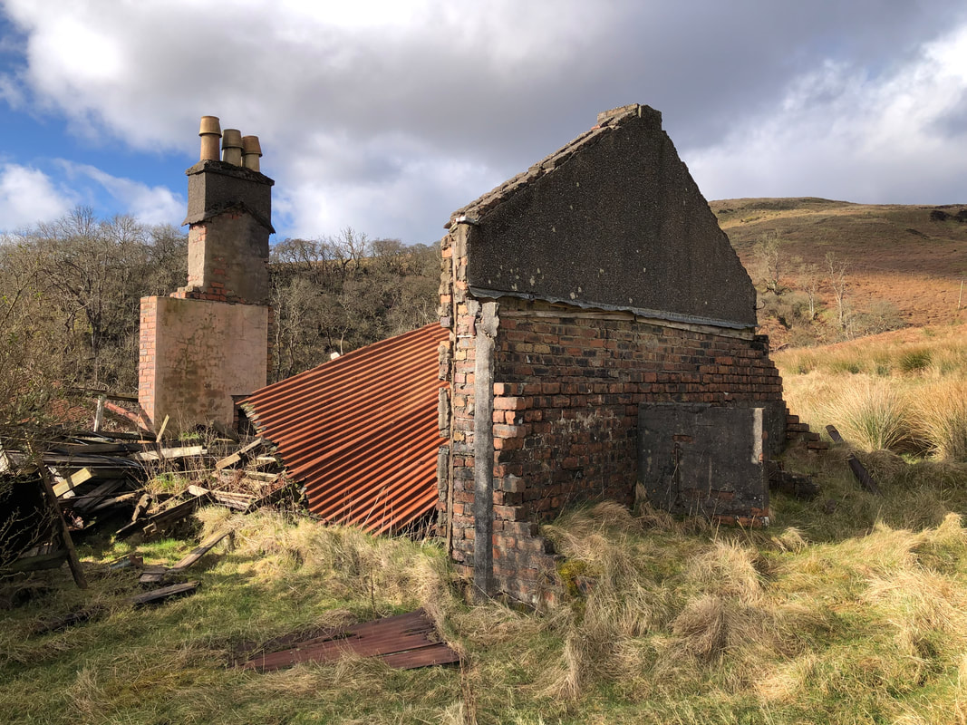
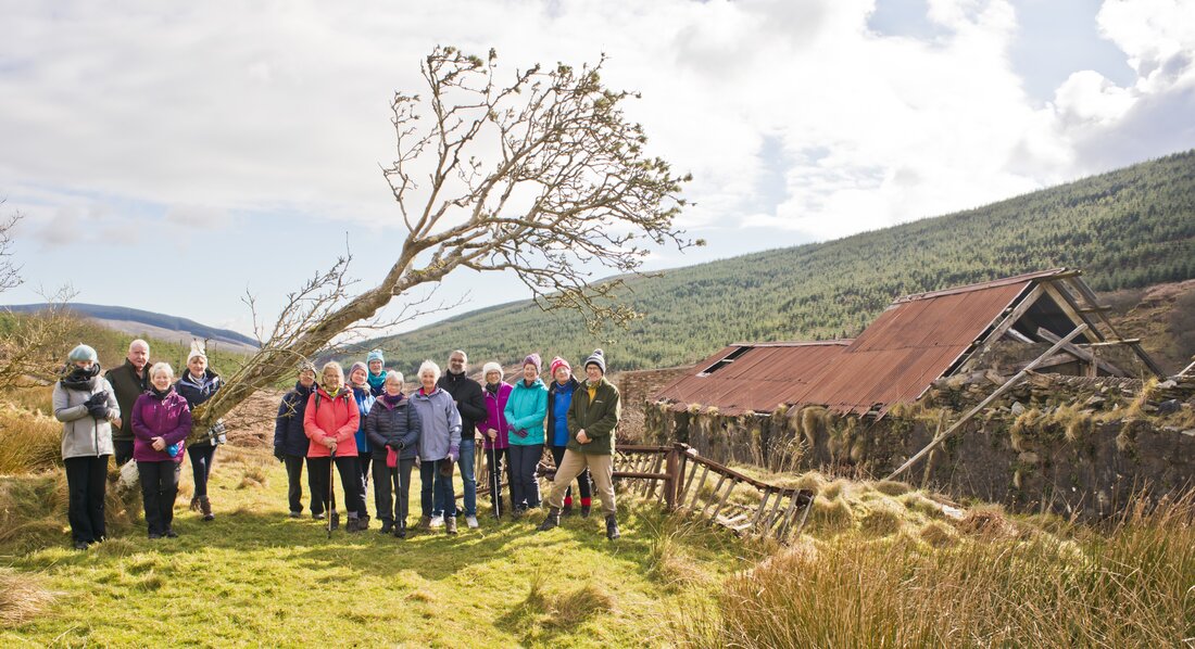
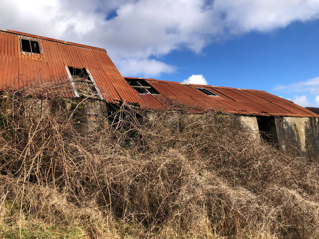
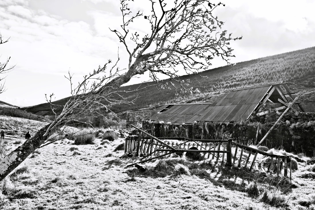
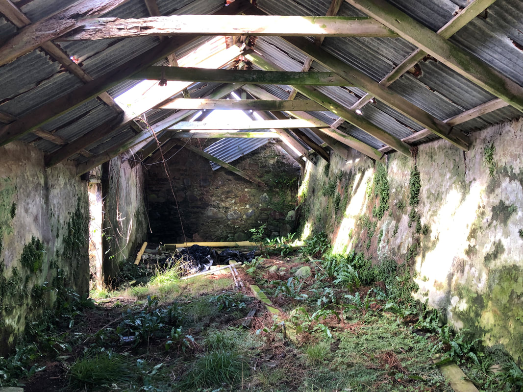
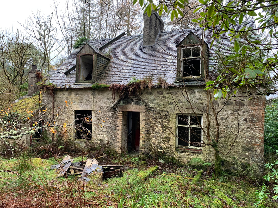
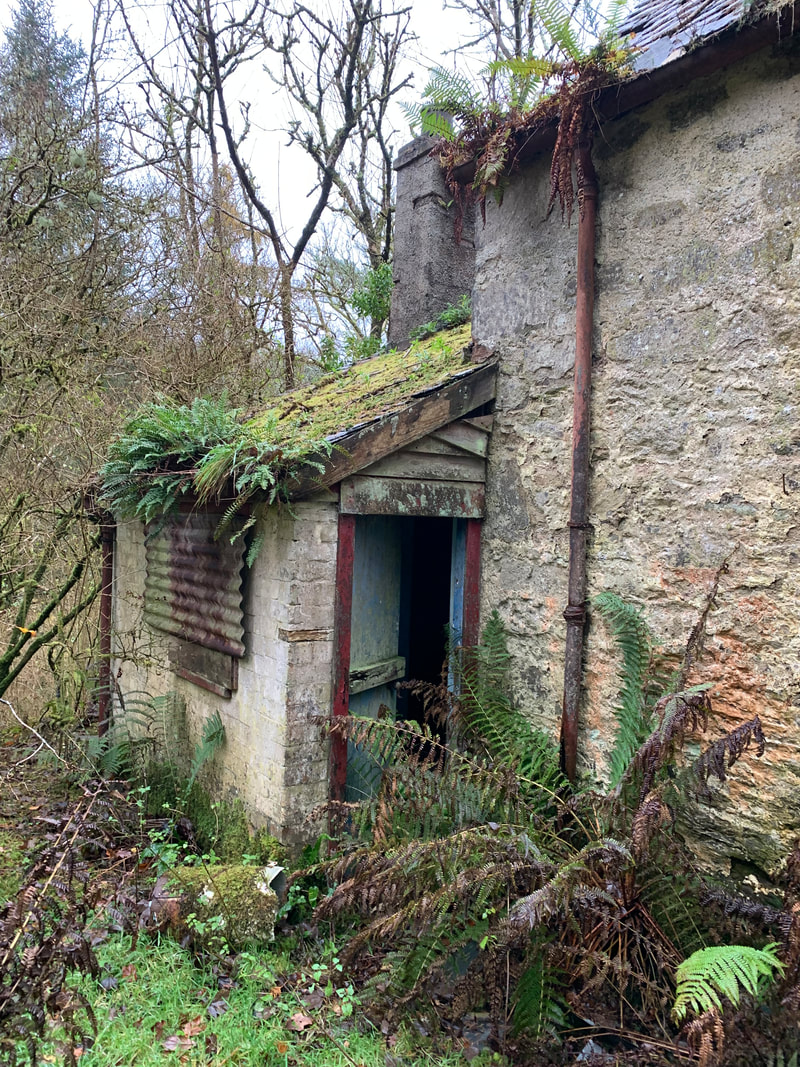
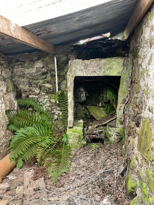
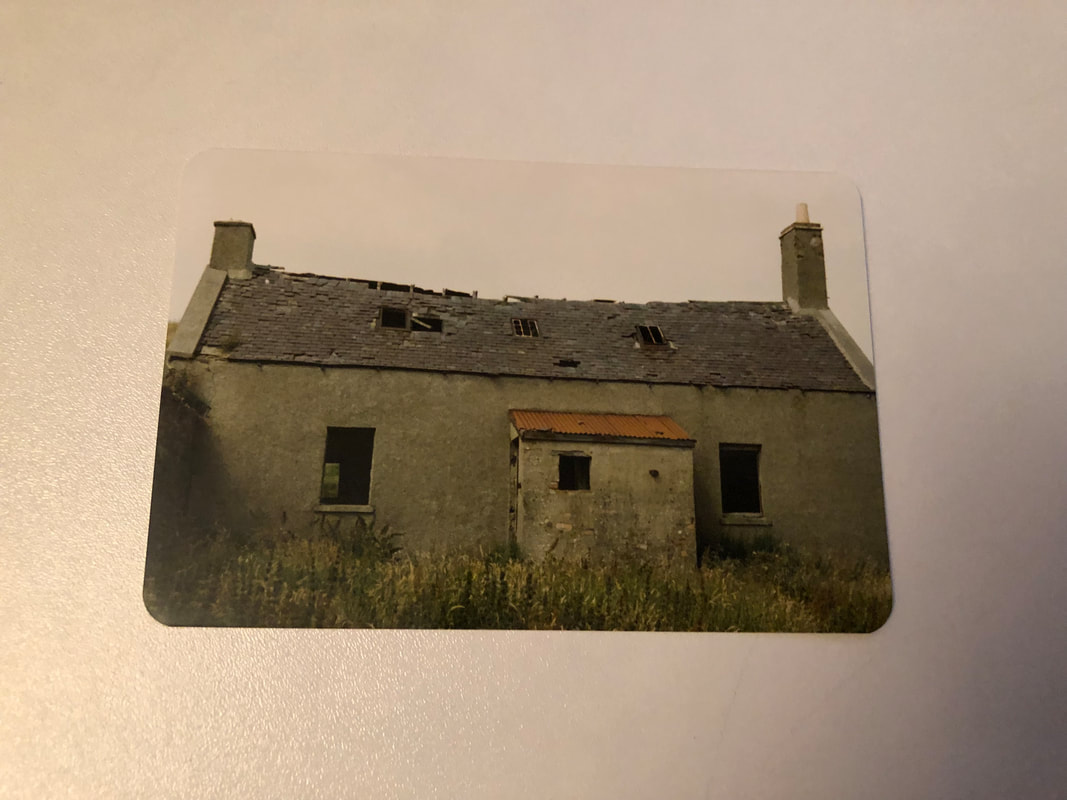
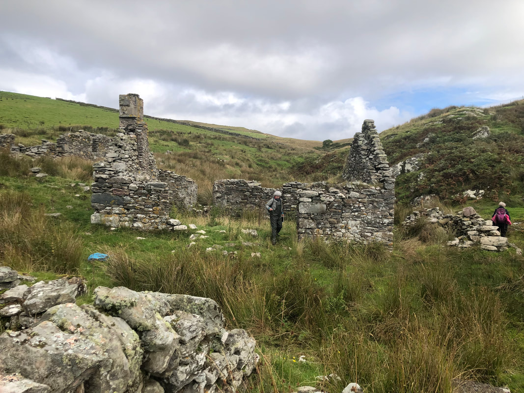
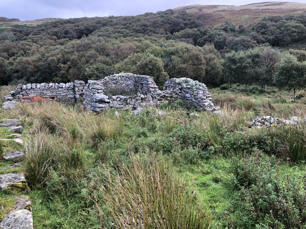
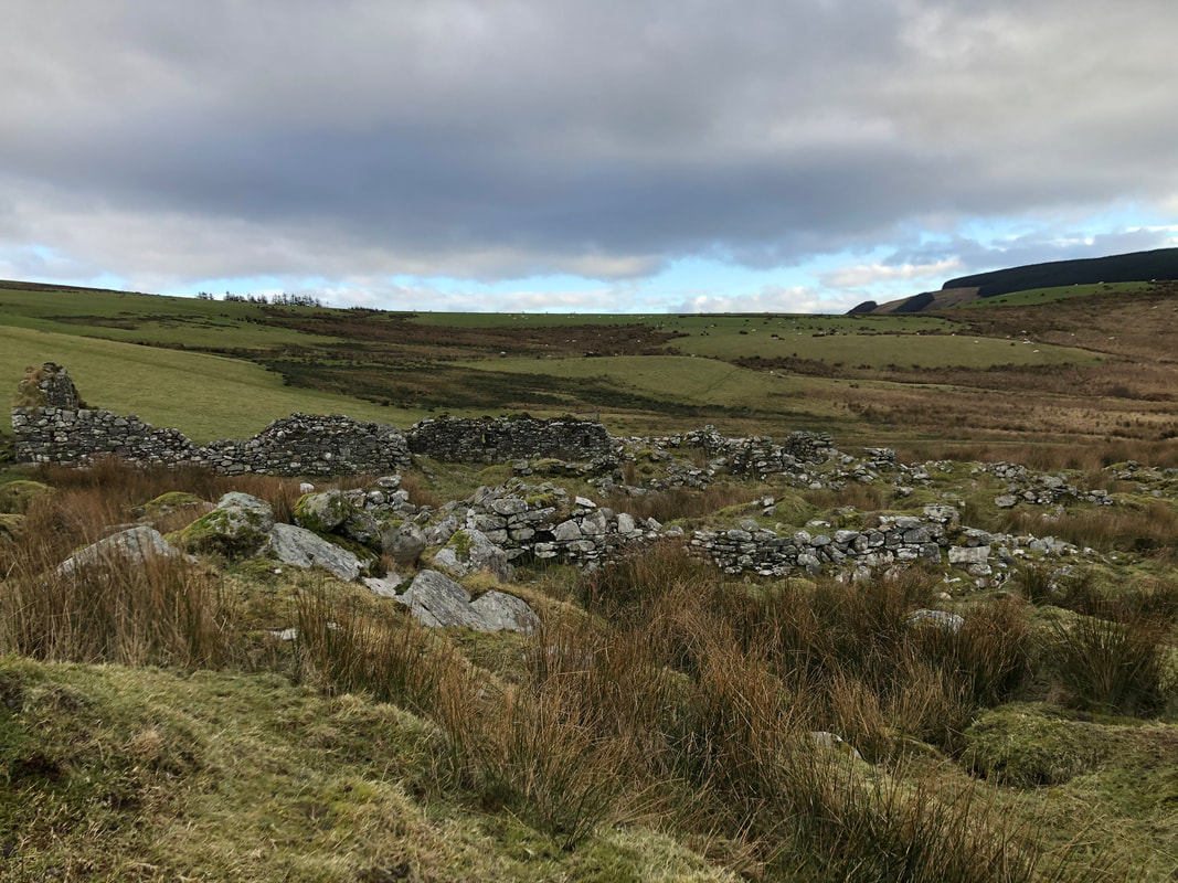
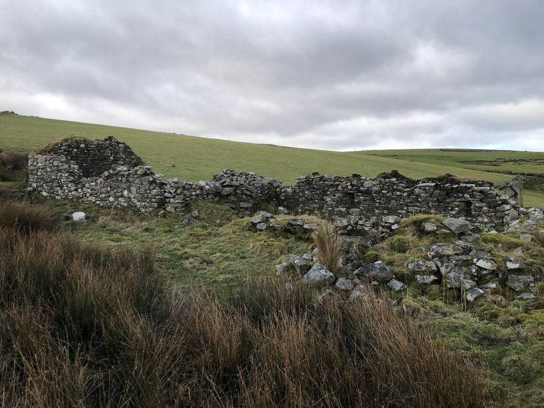
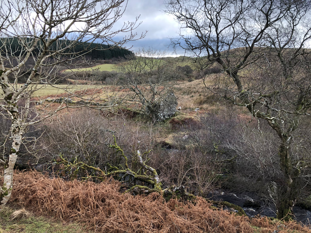
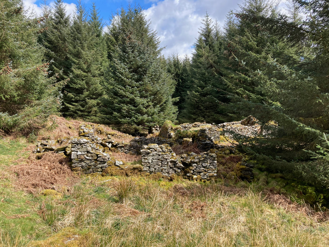
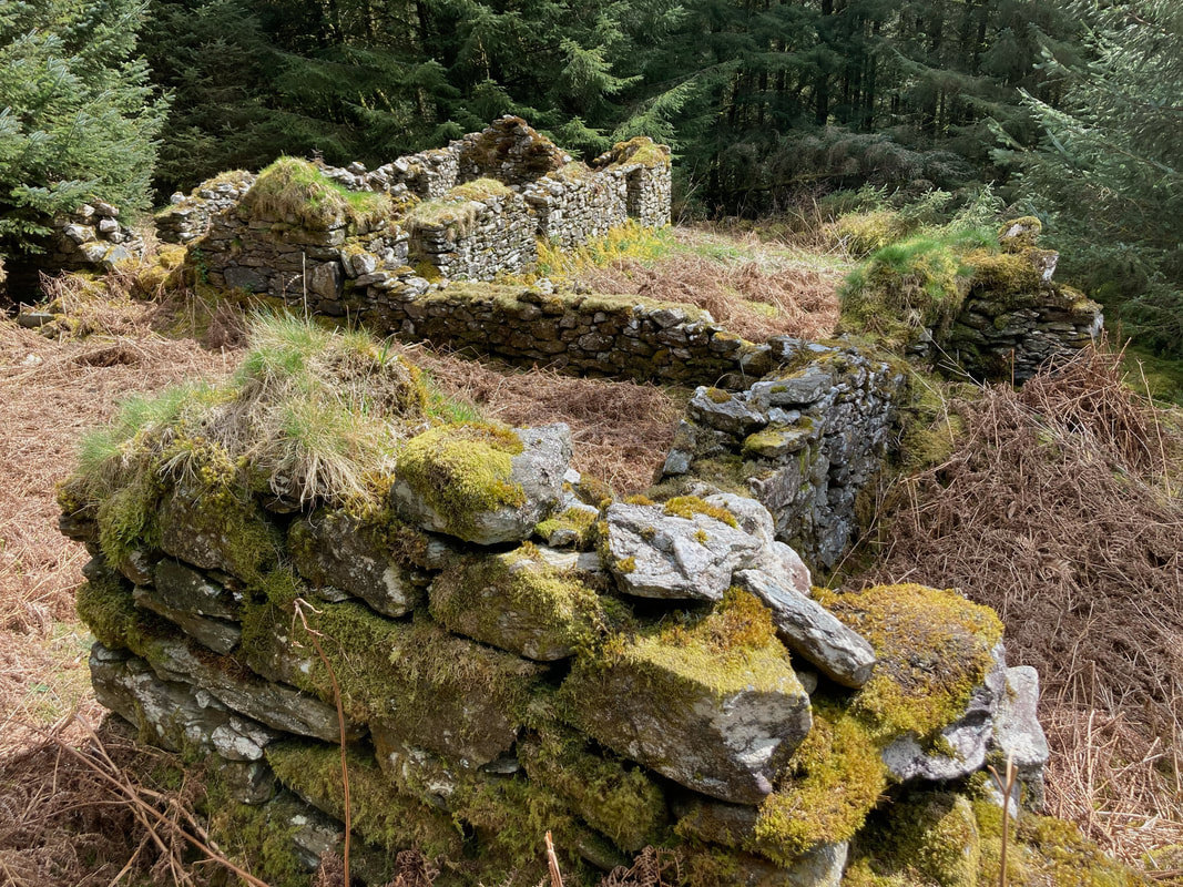
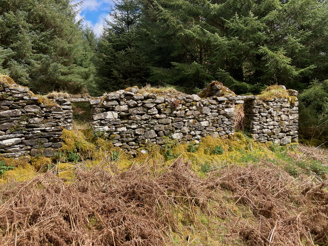
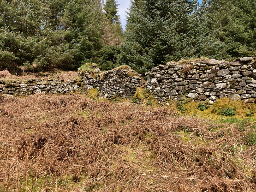
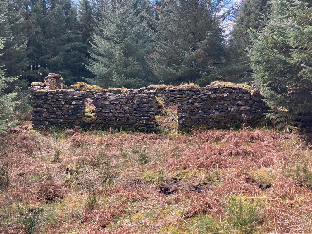
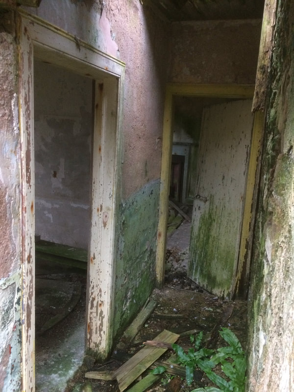
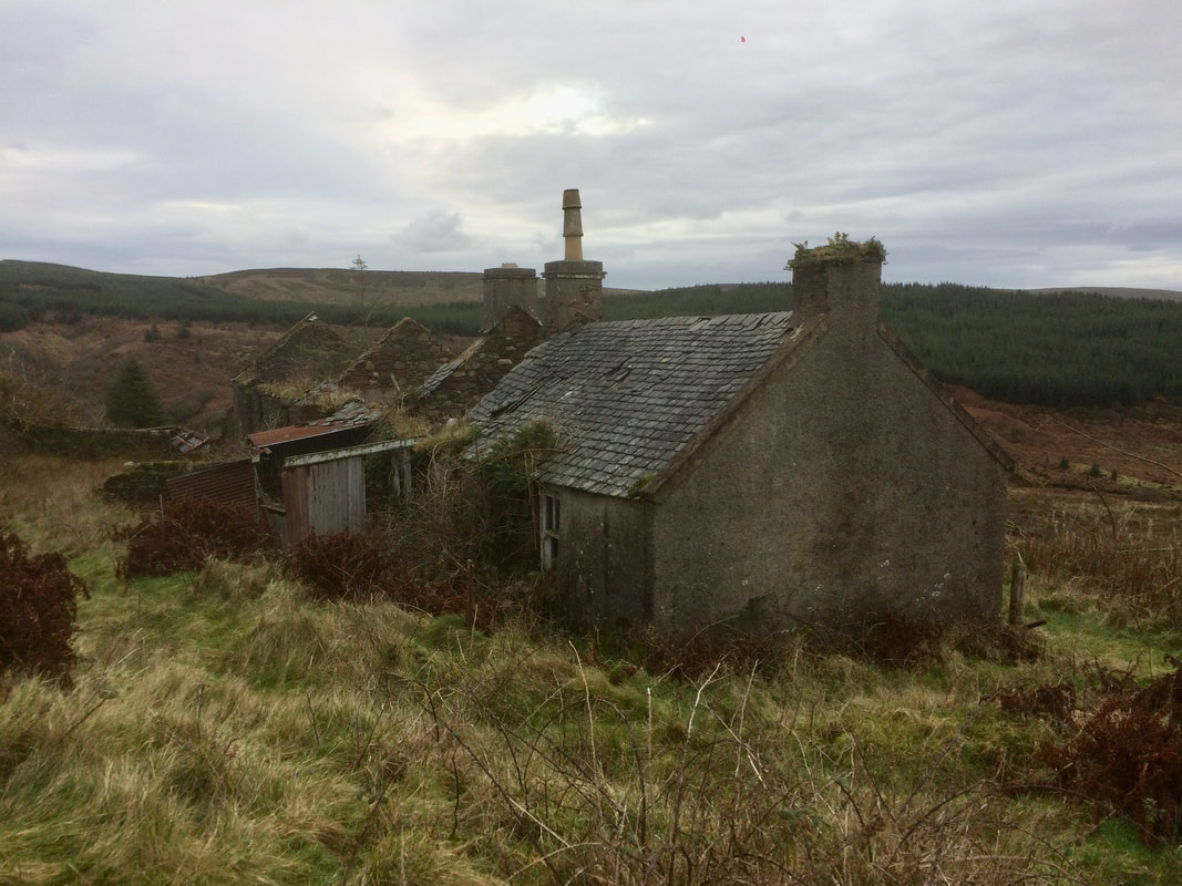
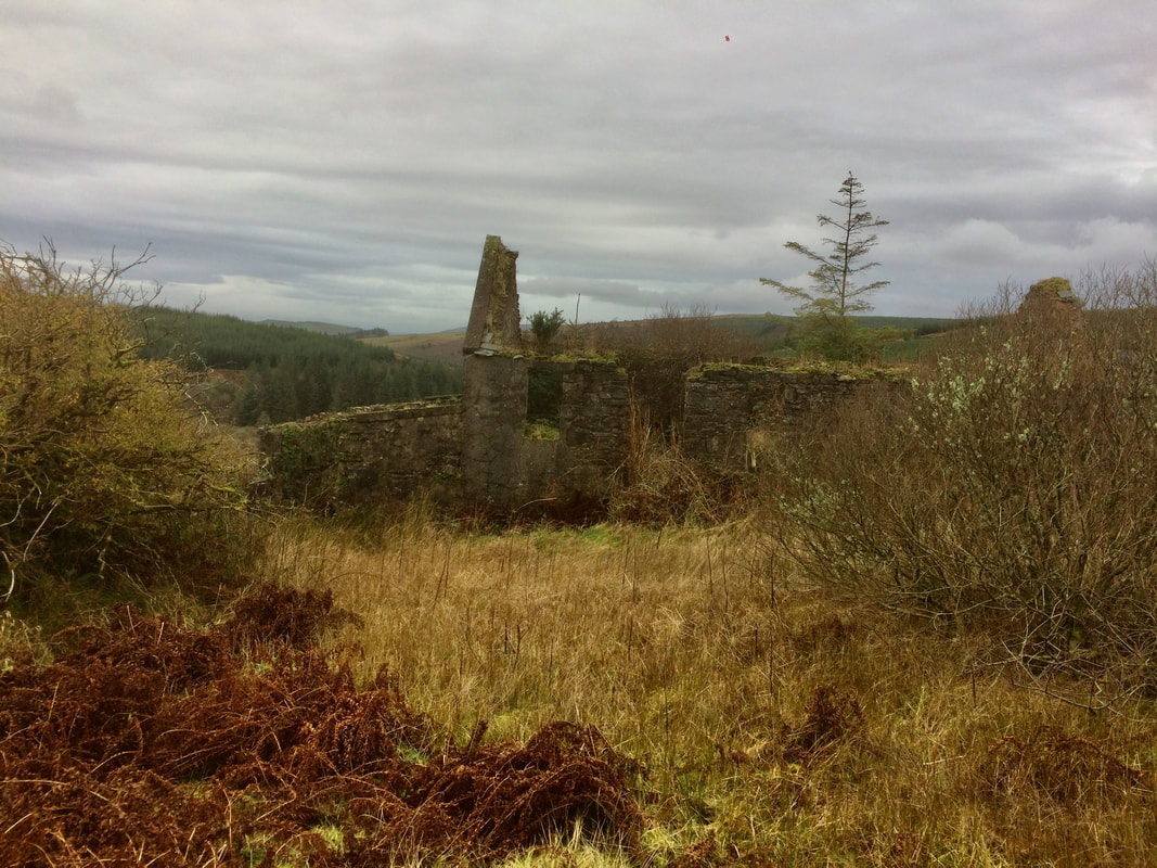
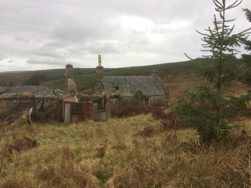
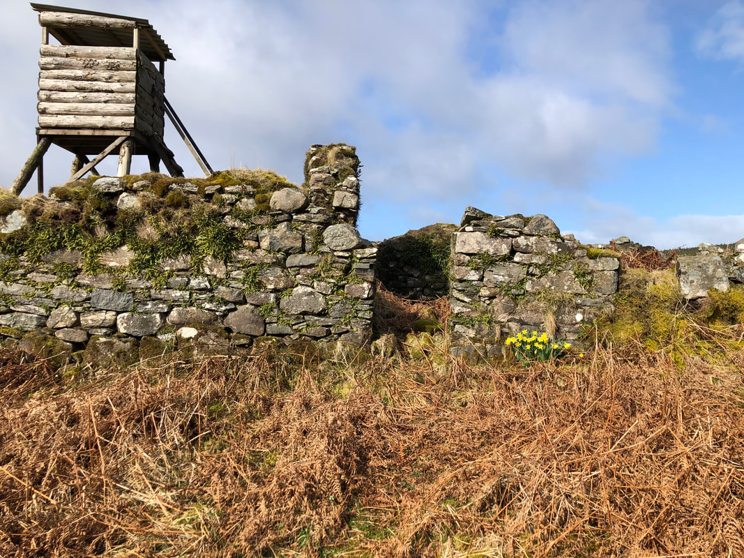
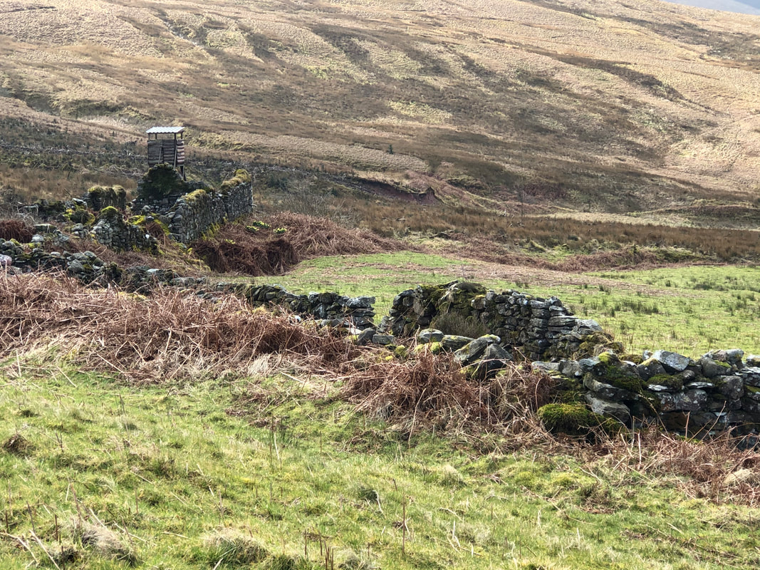
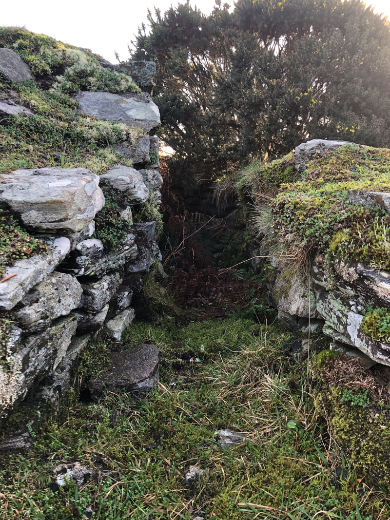
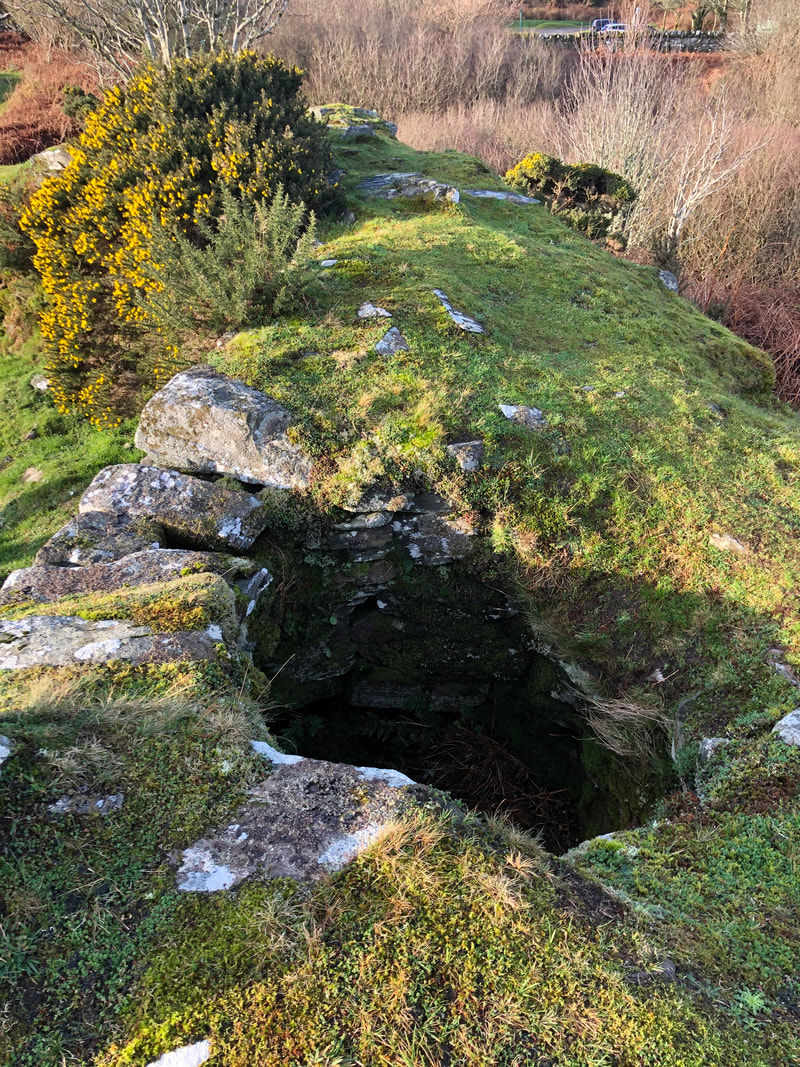
Glenahanty photos below show the old steading and the new house. The 'new' house erected in 1924 was built of corrugated iron. The Macphersons were the last family to live here, leaving in May 1969. The old house and steading were tenanted for many years by the McMaths/Mathiesons who were famous for there illicit whisky distilling.
Glenahanty photos below show the old steading and the new house. The 'new' house erected in 1924 was built of corrugated iron. The Macphersons were the last family to live here, leaving in May 1969. The old house and steading were tenanted for many years by the McMaths/Mathiesons who were famous for there illicit whisky distilling.
Walk up to Lagaloskine and through Largie Estate
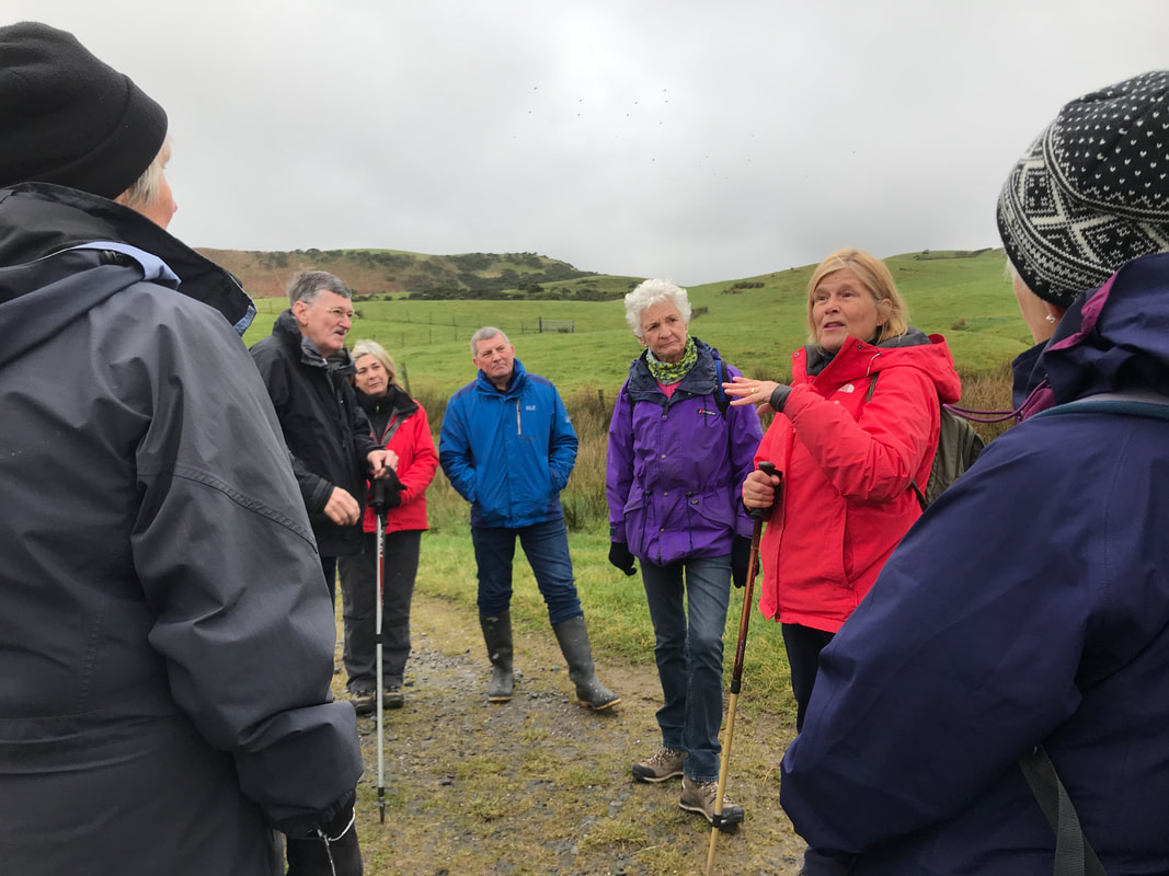
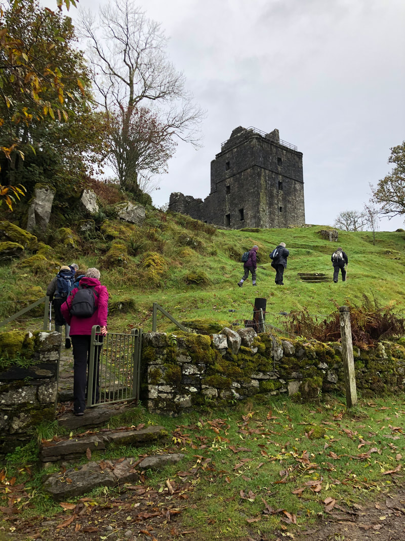
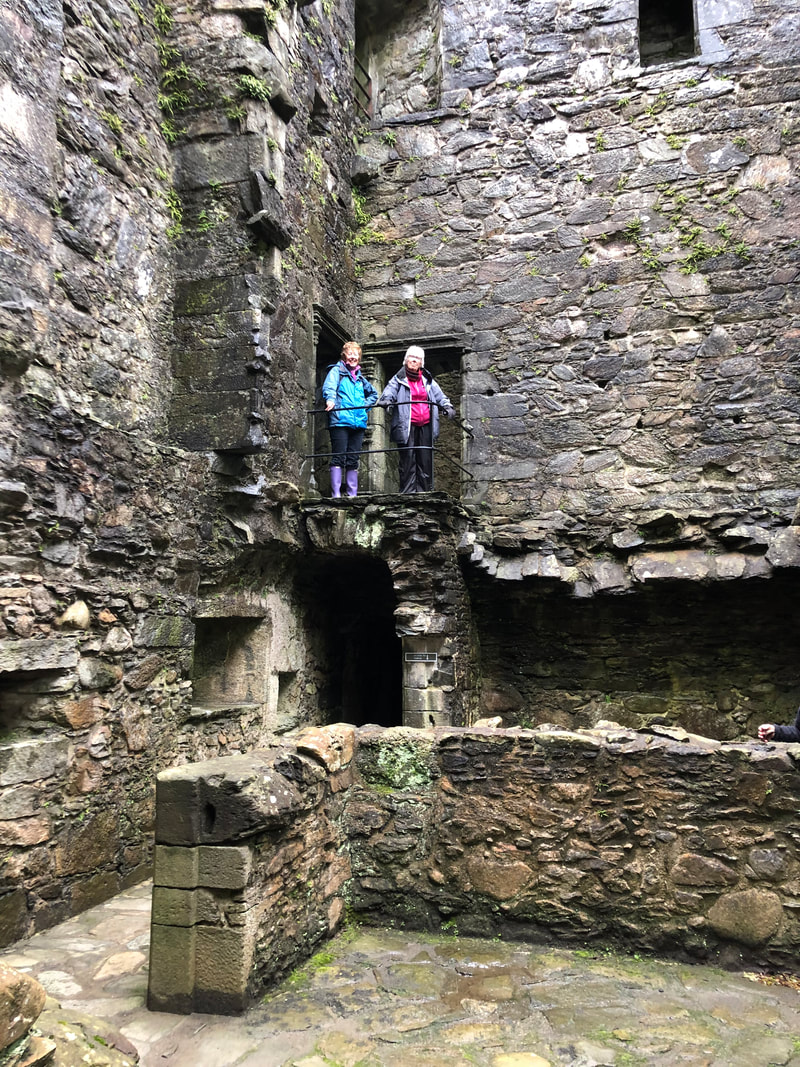
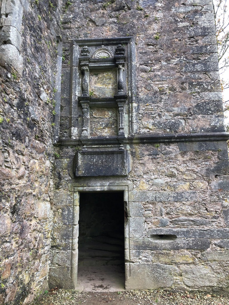
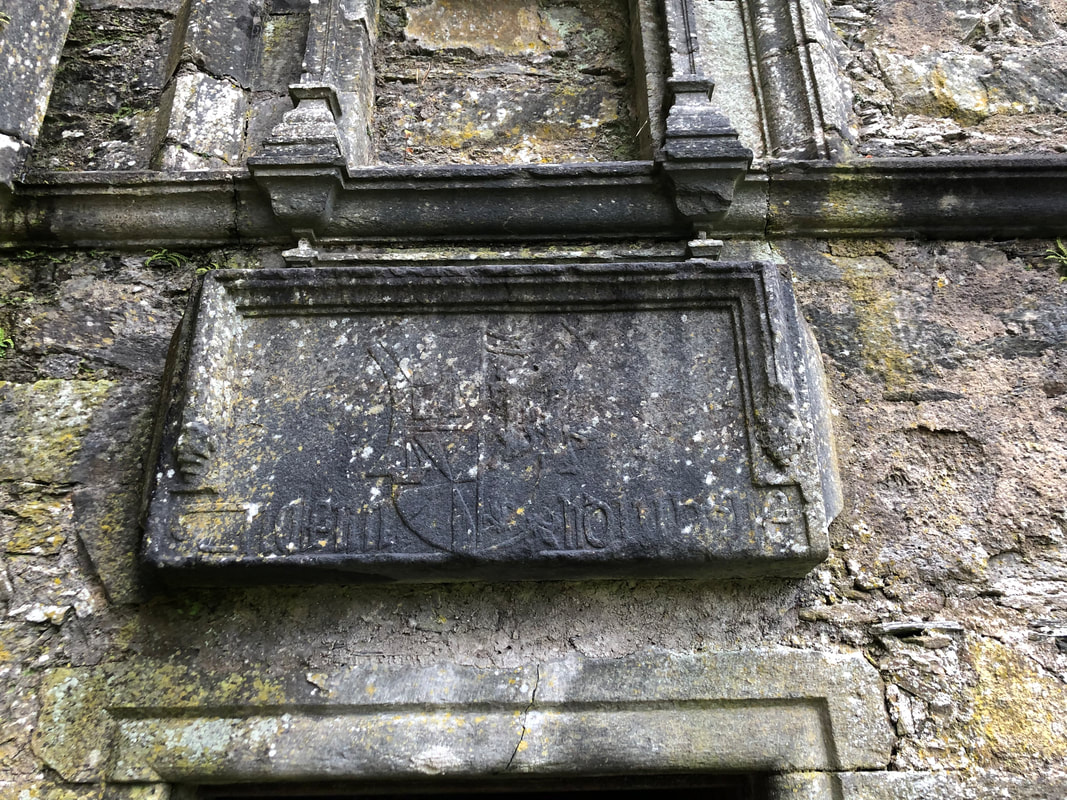
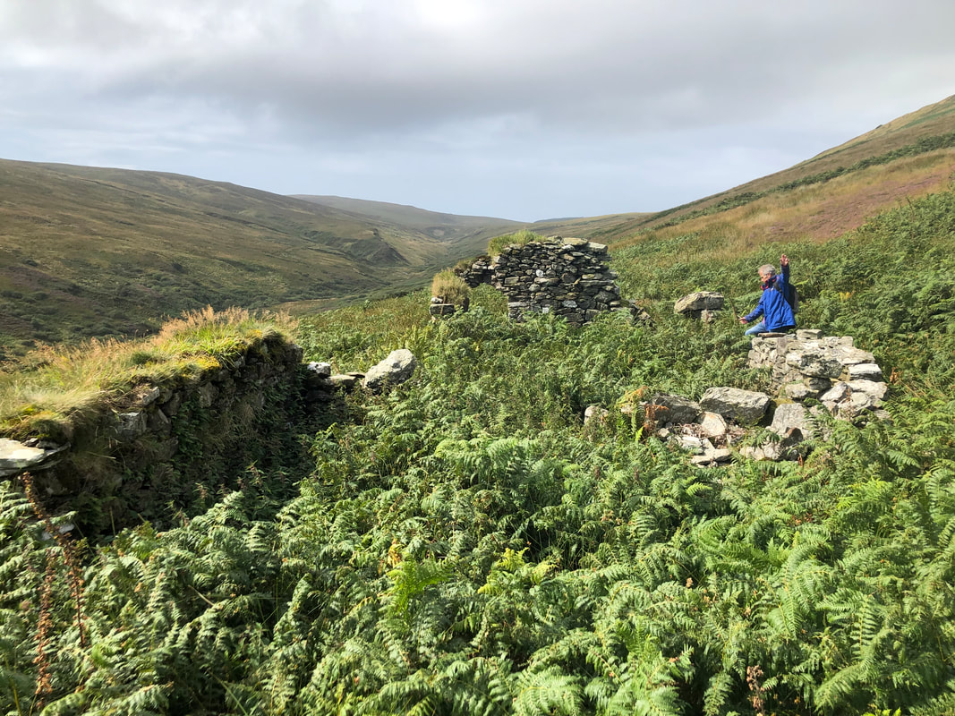
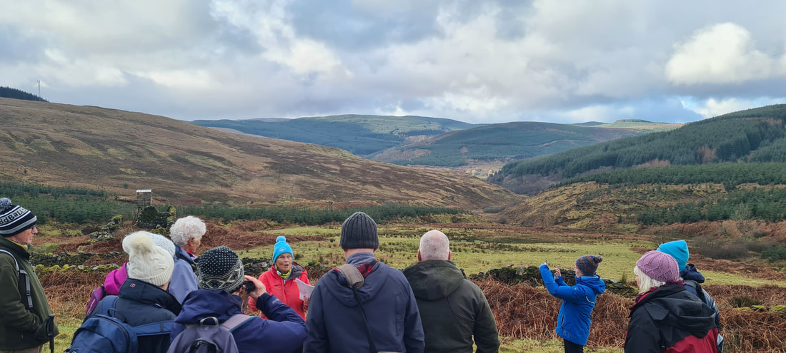
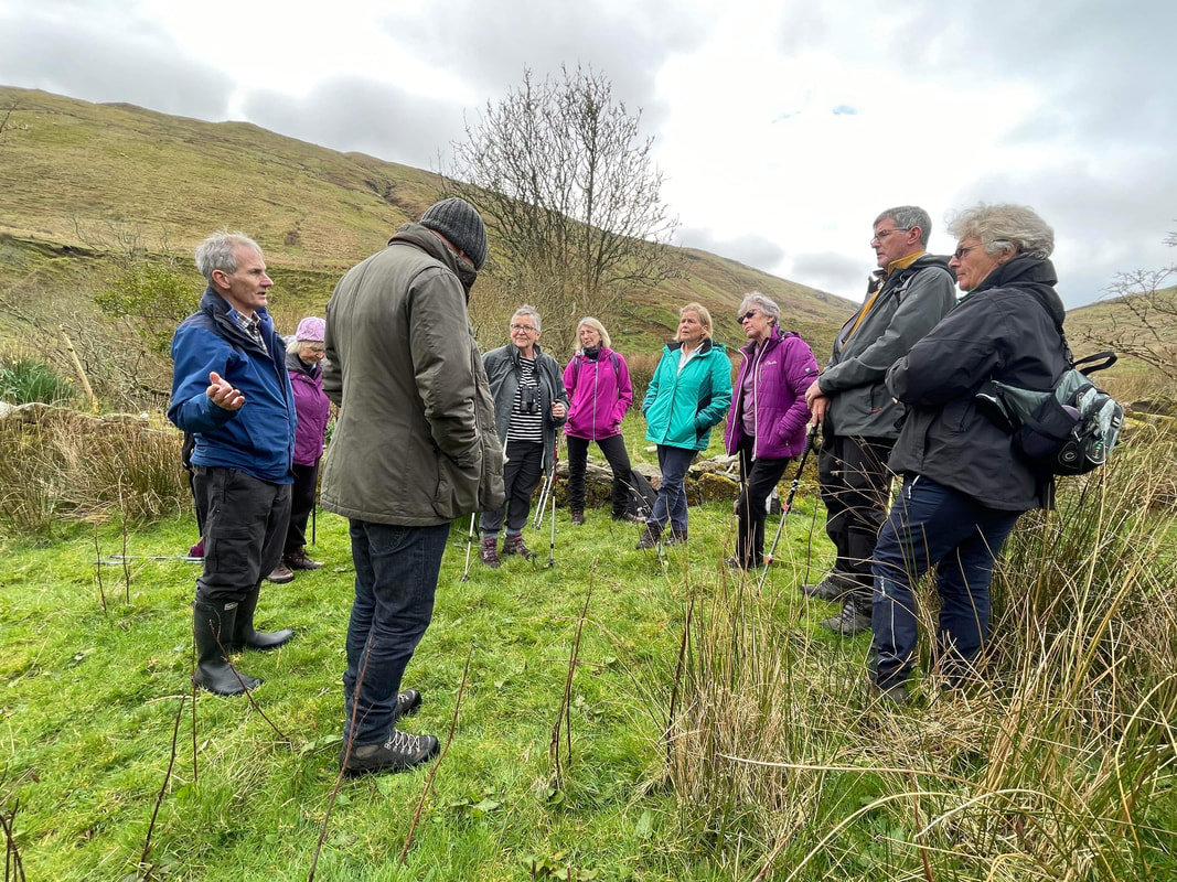
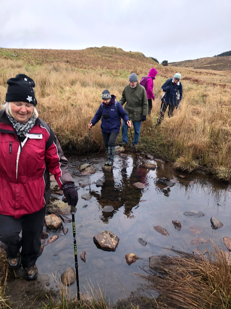
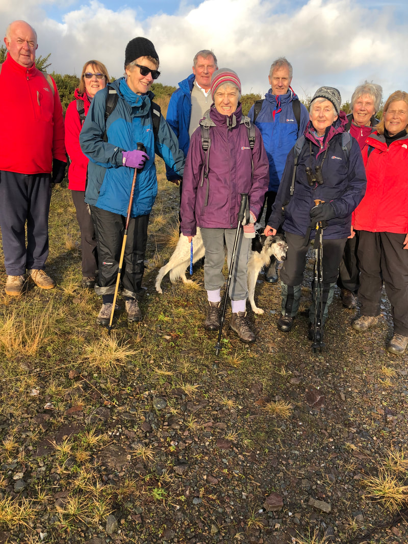
On Sunday 19th November 2023 15 of the Society's members and friends walked up from Tayinloan Village to the ruins of Lagaloskine. On the way, we stopped and looked at the foundations of High Gortianne where the McStockairs once tenanted, but would have been abandoned, most probably, since the early 19th century. At Lagaloskine, we came first to the 'new' house but now roofless. This was once a 4 roomed house erected for the shepherd and his family. It had a slated roof, some of which was still in situ in 1990 but now totally roofless and chimneys. I think this house was lived in until about the mid 1950's. A little below and to the south was once a well built lambing pen? and to the east was the remains of the 'older' farmhouse of Lagaloskine, surrounded by a sheepfold. This house would have been thatched with an earthern floor with a fire in the middle of the room. The day was cloudy, overcast with light rain. After a quick lunch, the group walked back down the road and through Largie woods, stopping at the old kennels, Gamekeeper's House and the walled garden of Largie Castle. Largie Castle was pulled down about 1957.
Glenehervie Glen
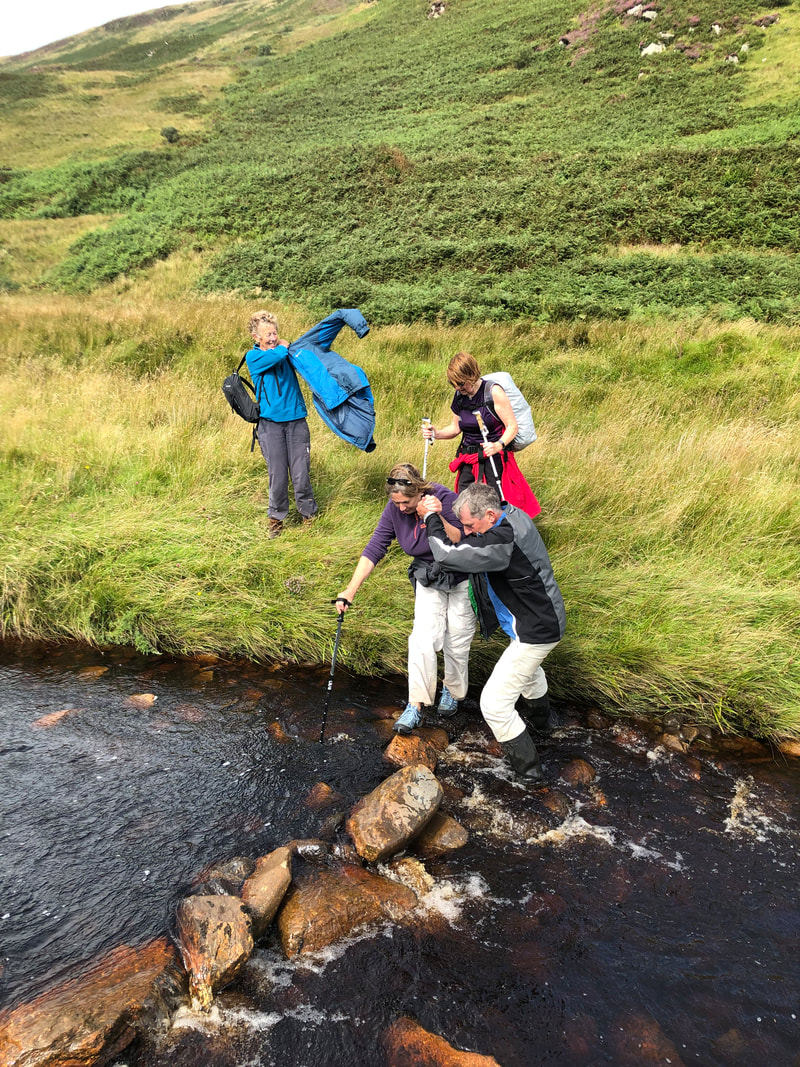
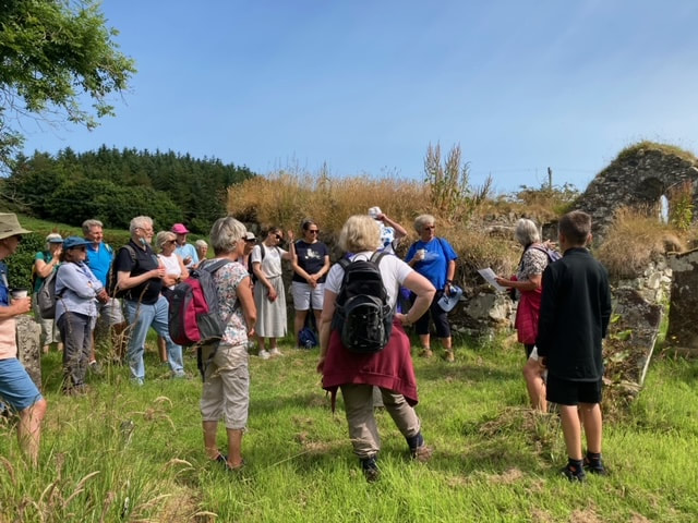
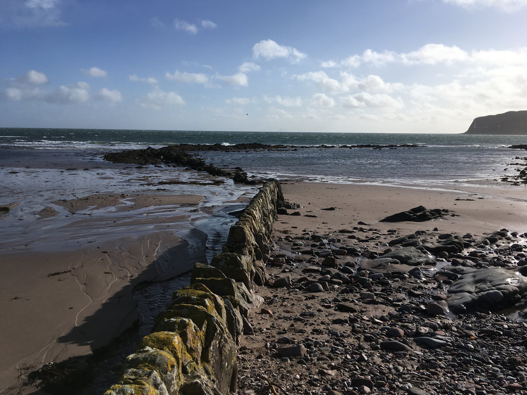
On Sunday 29th October , we visited sites on Glenehervie Farm. After parking the cars, we walked south on the Learside Road and had a short look at the site of Old Shenachie where once there was a school listed. McMaster in 1821 and McCualosky in 1837 have both been recorded as teachers there. We then walked down through Glenehervie Farm ( previously named Gartnagerach), a large sheep farm, and down to the shore, at the mouth of the burn. In the late 18th century McEachrans were tenants on one of the divisions of the farm and a son, Colin joined the Navy as a carpenter . He fought at the Battle of Waterloo, he returned home with his prize money and built a smack at the mouth of the burn in 1807 and a breast wall at the ‘Port of Glenehervie’.. He later built a larger sloop, along with his brother Neil in 1828, called ‘The Twa Brothers’ or ‘The Brothers’. It was built if larch boated down from Carradale annd Ayr and this boat sailed for 60:years to bring in limestone from Ireland. The McEachrans sold the boat in 1835 when they decided to emigrate.
On the way back up the Glen we had a look at 3 of the old divisions of Glenehervie Farm, which were probably lived in until the 1840s
On the way back up the Glen we had a look at 3 of the old divisions of Glenehervie Farm, which were probably lived in until the 1840s
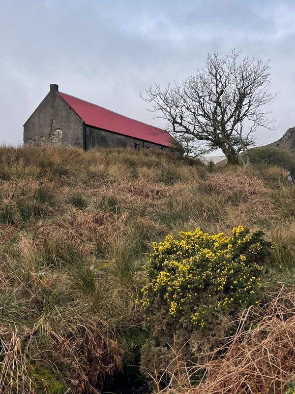
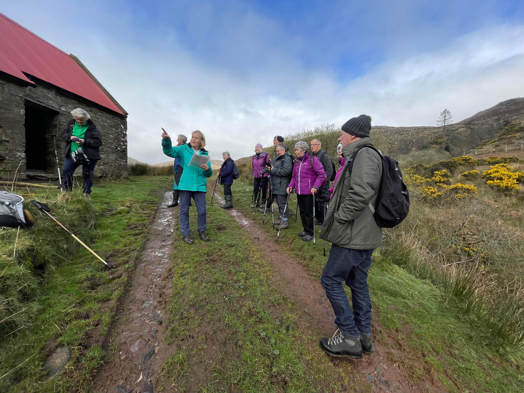
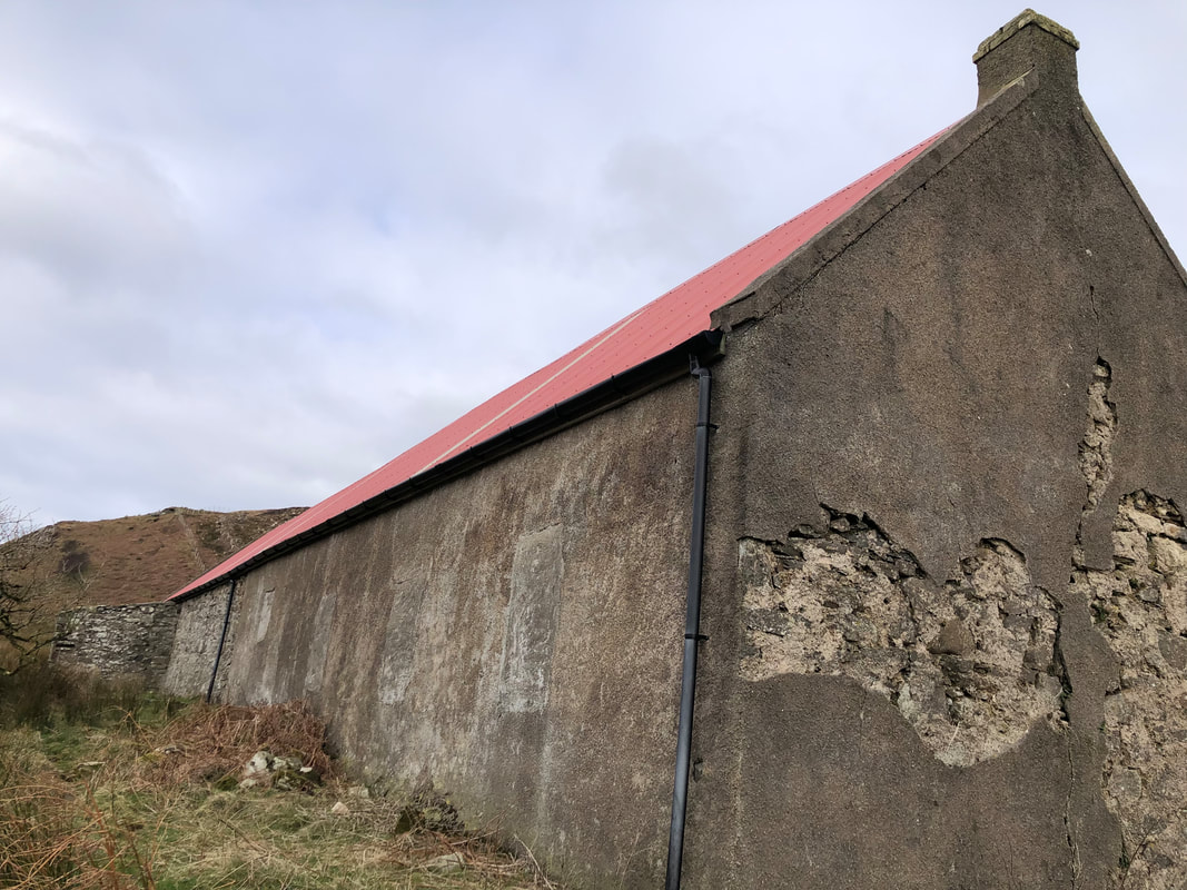
Walk up Strone Glen, behind Carskiey and visiting the sites of Mucklach, Keromeanach and Strone
On Sunday 2nd April 2023 a group of us from the Society walked up this glen. Our first stop was at the ruins of Muchlach , abandoned around 1830. The McLeoran family may have been the last family to live and herd here. Next stop was at Keromeanach. Recently reroofed it has been used lately as a winter shelter for beasts but a shepherd and his family lived here until around the Second World War. The late Bobby Watson recalled delivering post here 2-3 times a week. Archie Cameron drove cattle from here to the Falkirk Trysts in the late1800’s. Finally we arrived at Strone, at good time for our picnic lunch. Latterly it was ‘done up’ as a holiday house but this is no longer the case. Here, we saw a tawny owl sitting watching us, in a small lean to. Also in the Glen were 3 sheep fanks, in different states of repair and another sign of the changing times of farming.


Walk up to Braids, behind Killean
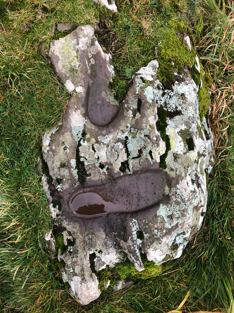
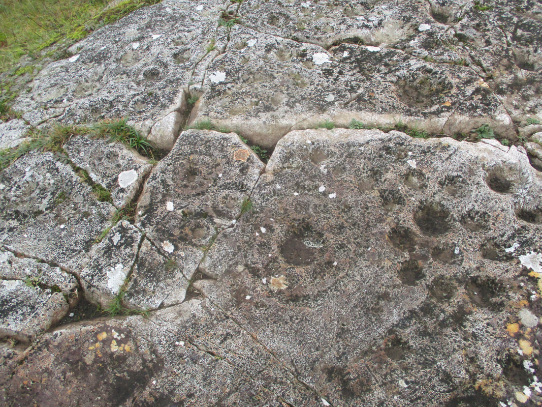
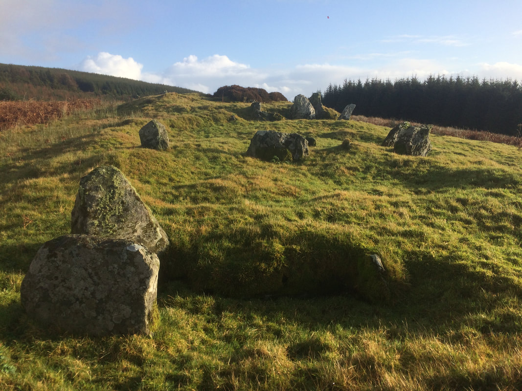
On Sunday 5th March a group of us from the Society walked up to the old ruins of Braids Kilmory. This was previously farmed by a tenant and latterly the home of a shepherd, the last believed to be Angus McDairmid in 1939. then heading south, through rough grazing and crossing numerous burns we visited the ruins of Braids Auchaloisken and Braids Drumnamuchlach before having our lunch at the next parallel ruin, which I am currently unsure of its name. Also seen were several stones with cup marks, a hut circle and a corn kiln.
Walk up to Braids, behind Killean
On Sunday 5th March a group of us from the Society walked up to the old ruins of Braids Kilmory. This was previously farmed by a tenant and latterly the home of a shepherd, the last believed to be Angus McDairmid in 1939. then heading south, through rough grazing and crossing numerous burns we visited the ruins of Braids Auchaloisken and Braids Drumnamuchlach before having our lunch at the next parallel ruin, which I am currently unsure of its name. Also seen were several stones with cup marks, a hut circle and a corn kiln.


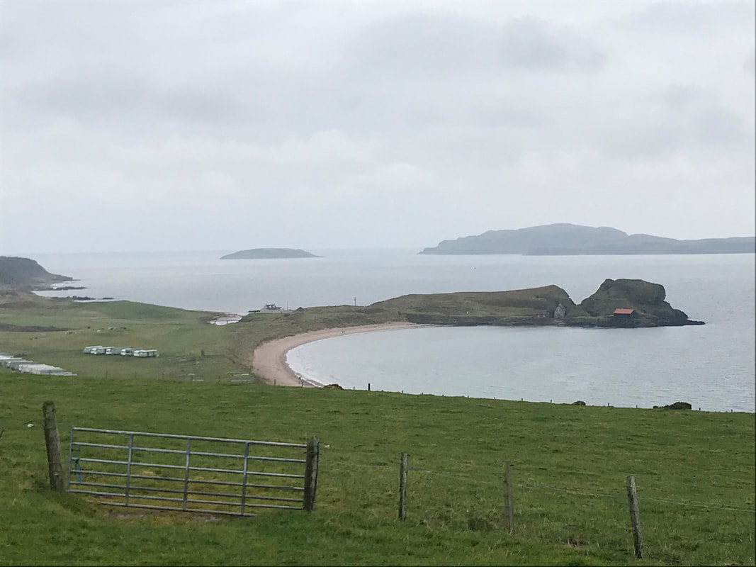
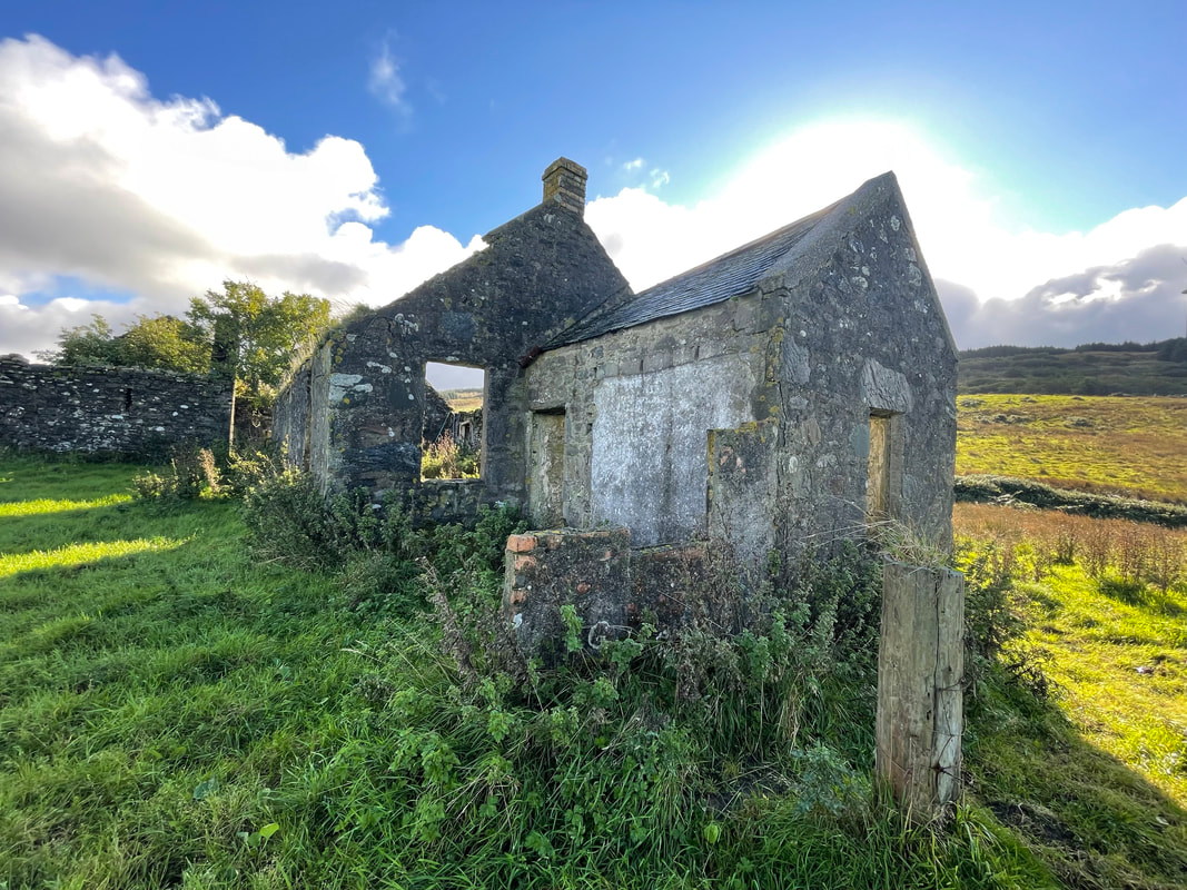
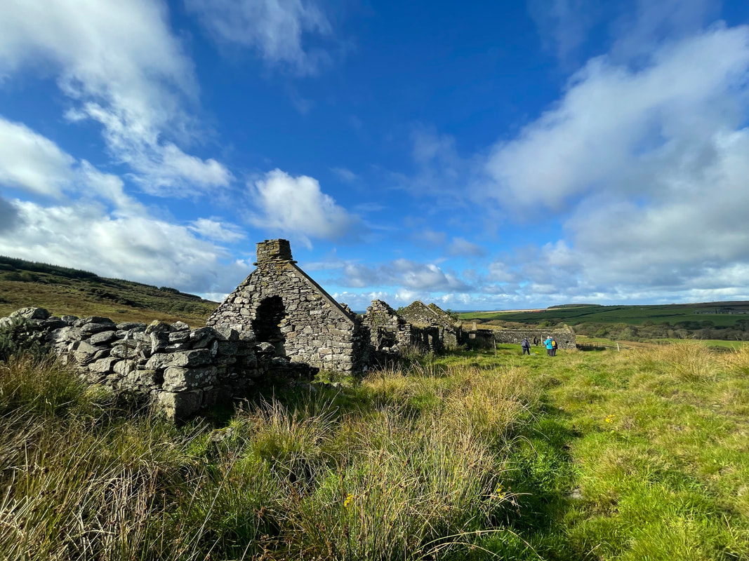
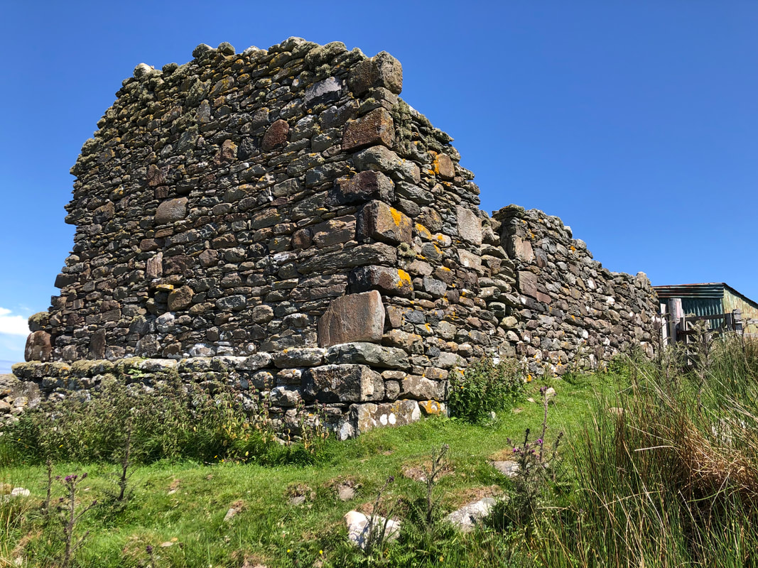
Killypole to High Tirfergus
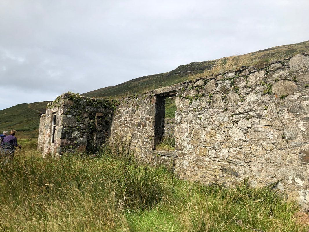
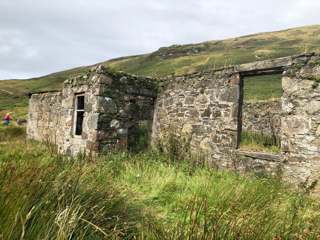
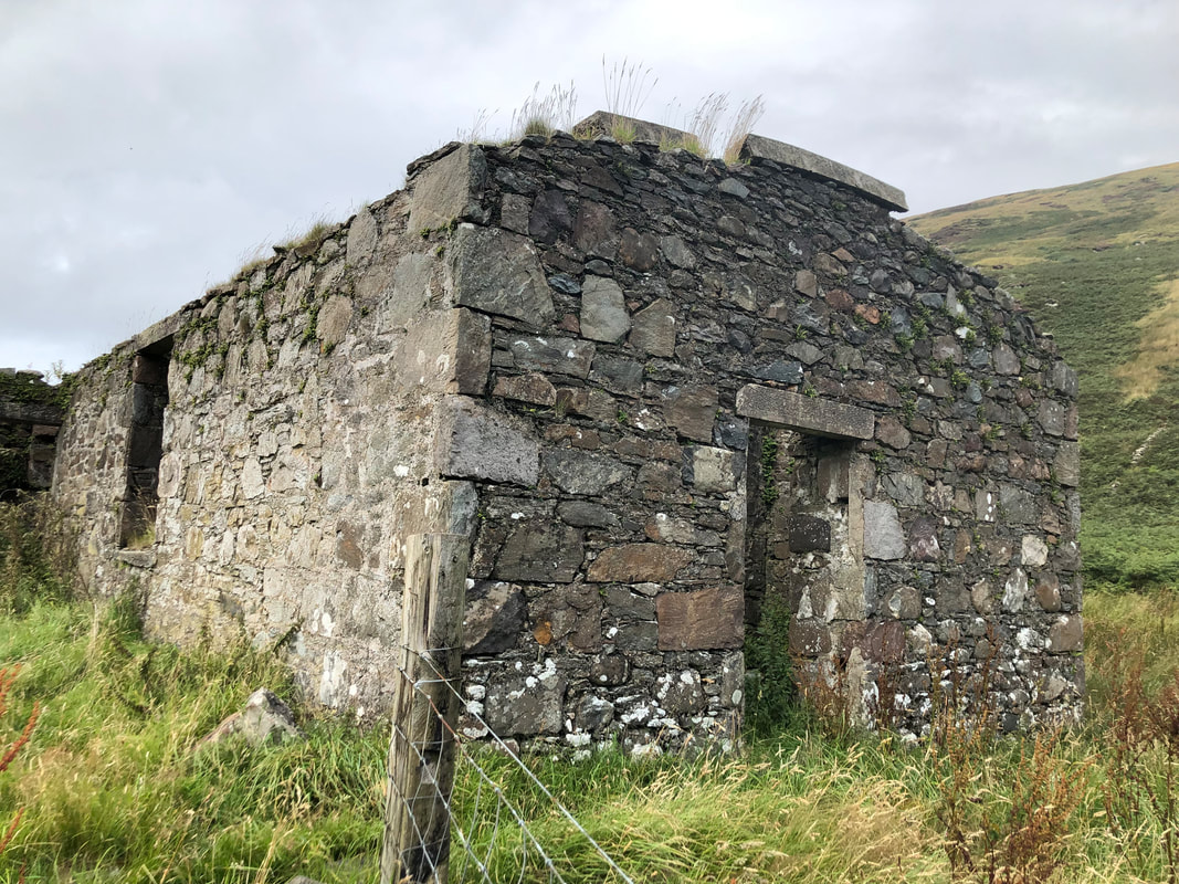
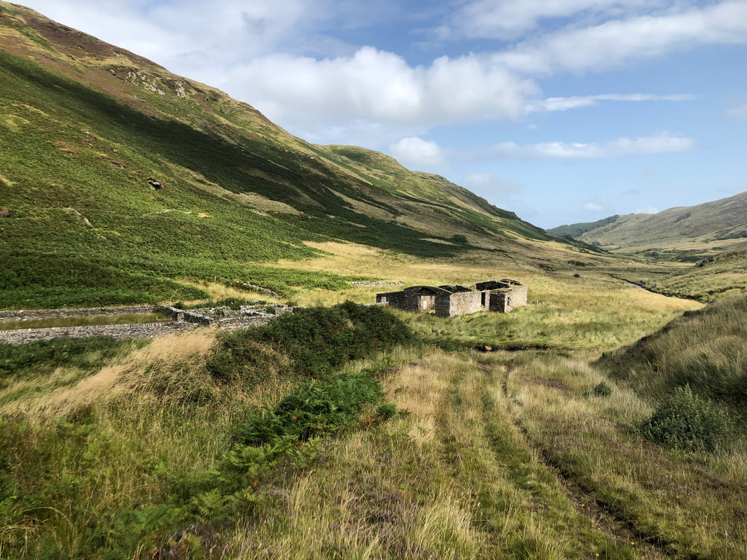
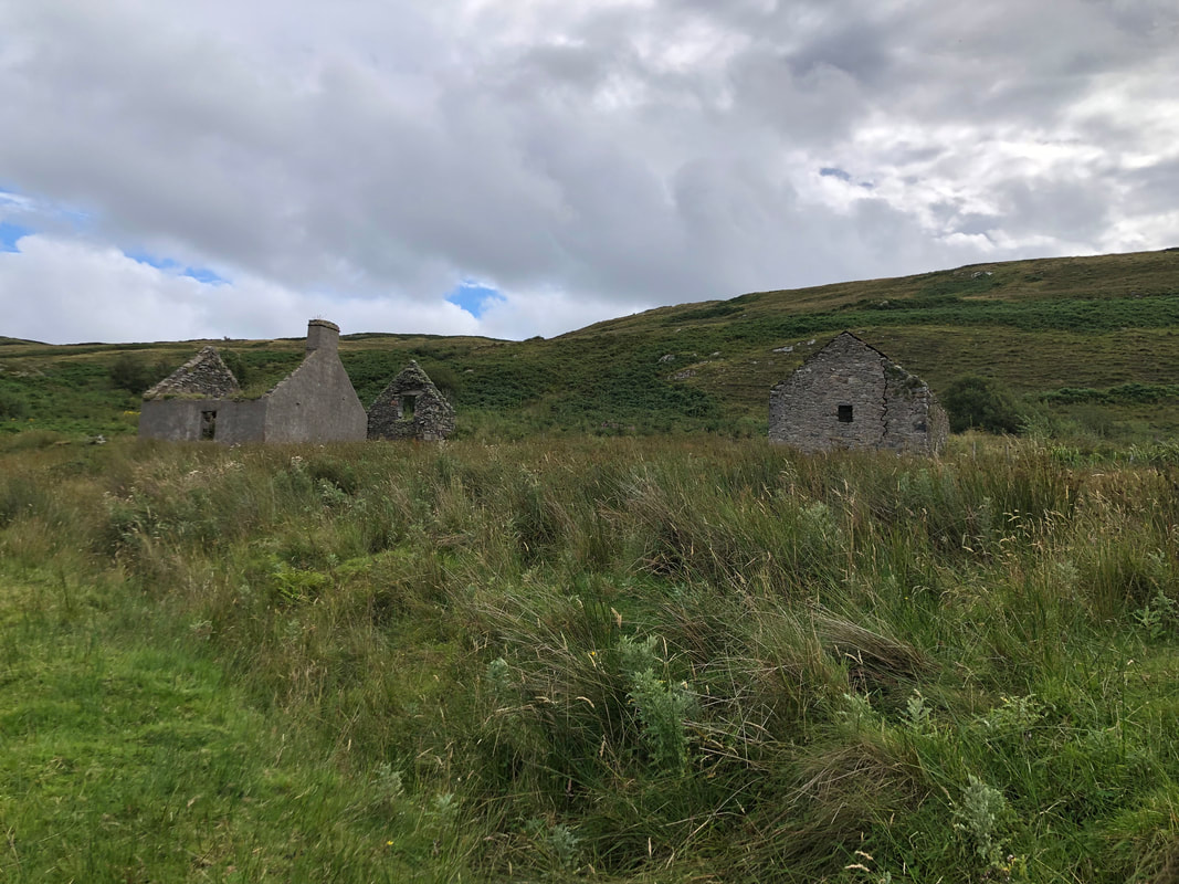
On a Sunday morning in November, we walked up through the forestry from Lossit to Killypole, a popular walk of the locals. Due to the recent wet weather we decided not to walk over to Lochorodale, instead we continued past the Loch to High Tirfergus and down to Drumlemble. Killypole, originally a small farm on the Lossit Estate, was latterly a shepherd's cottage. The original house ruins are to the right and the byre to the left of the photo below. Deserted around 1955, shepherds living and working here included the names McCallum, McKendrick, McShannon, McDiarnmid and Borthwick. This cottage is thought to have been built between 1861 and 1871 and was described as a 4 roomed house. The kitchen range was in use up until the late 1070's for making the dinner when the men were up working at the fanks. The late Dougie McKendrick said the shepherd would have 2 cows of his own and would winter beasts, around 30 in number and it was also his job to make hay in the meadow in front. Usually an unmarried shepherd would live with them.
On a Sunday morning in November, we walked up through the forestry from Lossit to Killypole, a popular walk of the locals. Due to the recent wet weather we decided not to walk over to Lochorodale, instead we continued past the Loch to High Tirfergus and down to Drumlemble. Killypole, originally a small farm on the Lossit Estate, was latterly a shepherd's cottage. The original house ruins are to the right and the byre to the left of the photo below. Deserted around 1955, shepherds living and working here included the names McCallum, McKendrick, McShannon, McDiarnmid and Borthwick. This cottage is thought to have been built between 1861 and 1871 and was described as a 4 roomed house. The kitchen range was in use up until the late 1070's for making the dinner when the men were up working at the fanks. The late Dougie McKendrick said the shepherd would have 2 cows of his own and would winter beasts, around 30 in number and it was also his job to make hay in the meadow in front. Usually an unmarried shepherd would live with them.
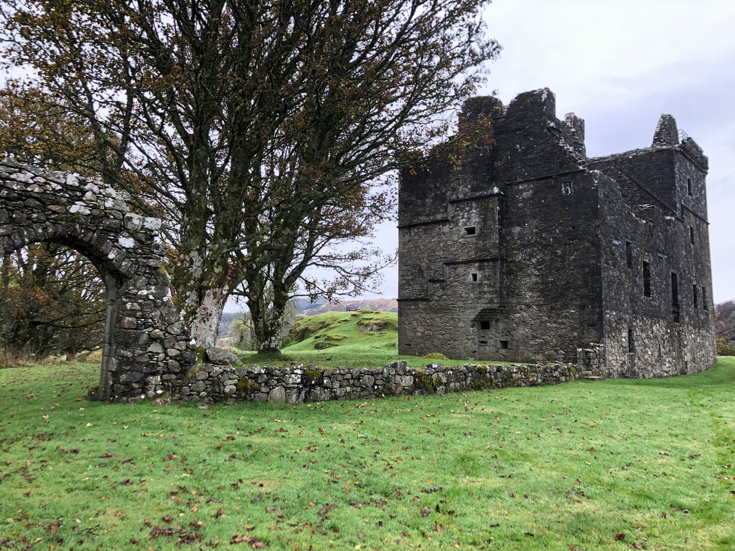
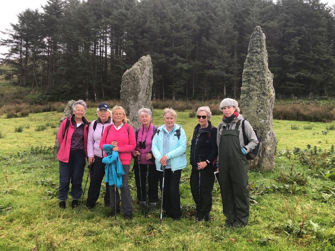
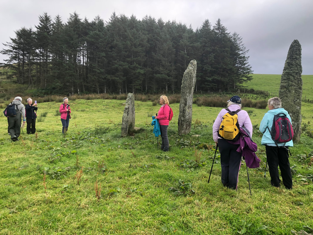
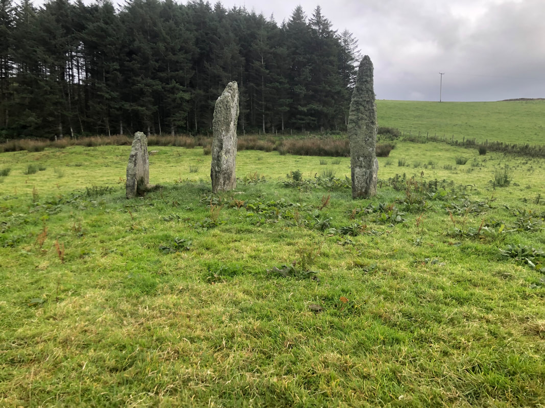
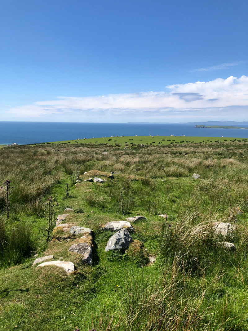
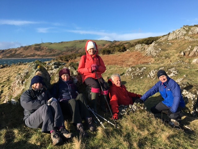
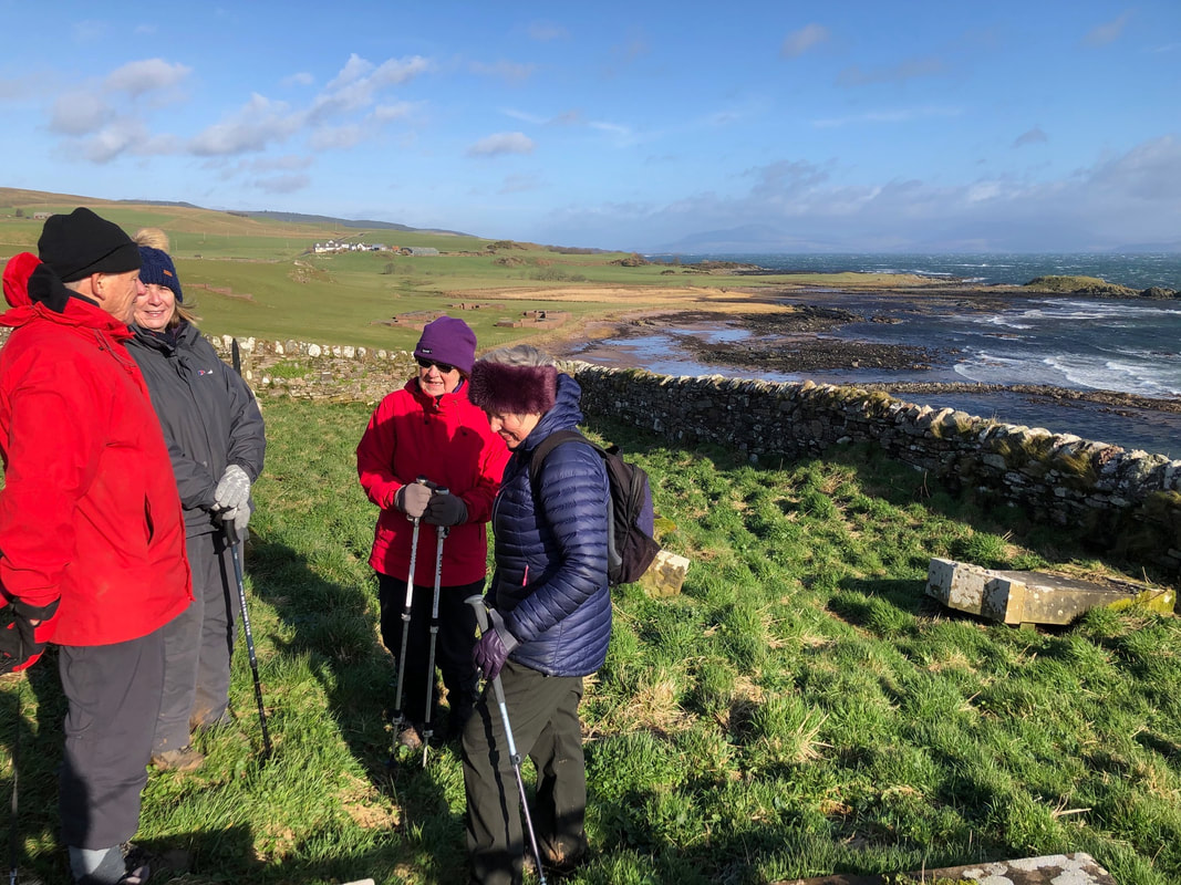
Clachan and Ballochroy
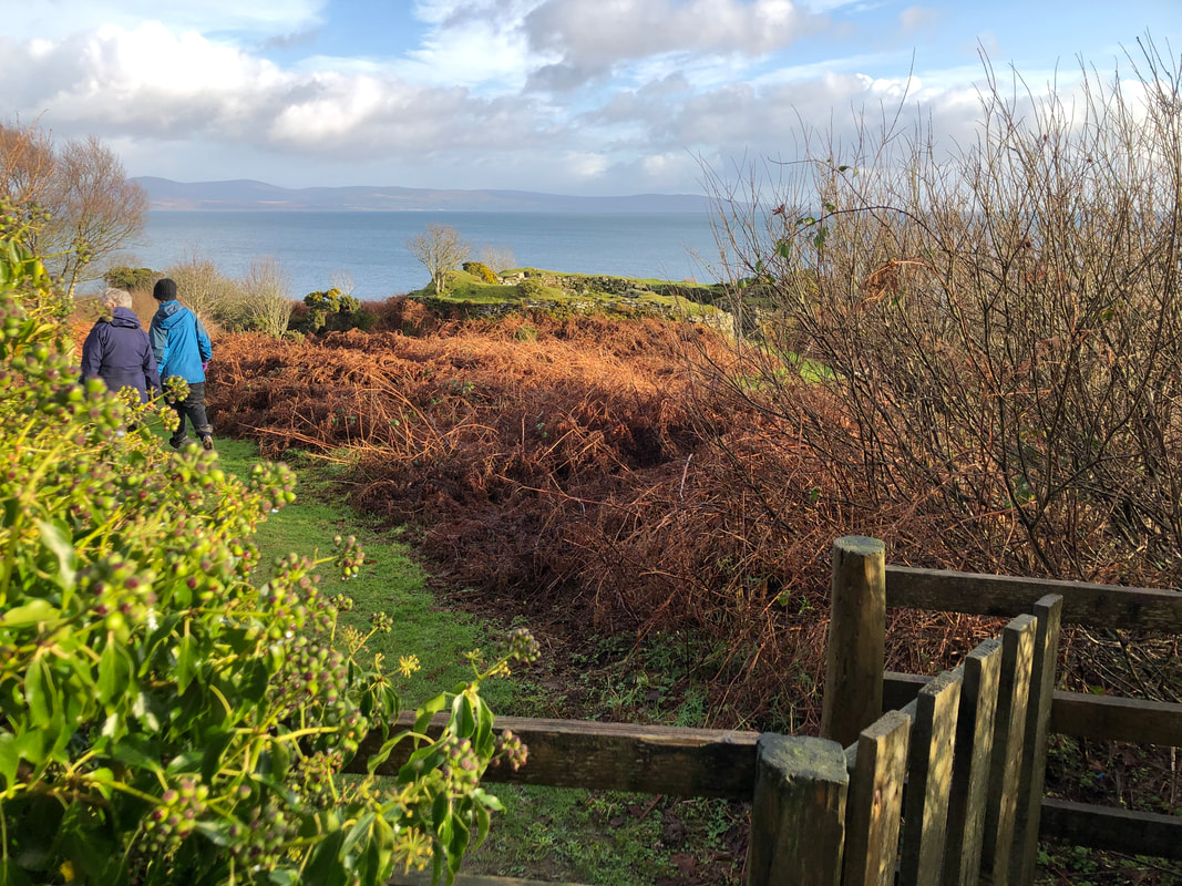
In September, members visited the area between Clachan and Ballochroy, following the old track which runs parallel to the road. This may possibly have been the original road leading to Campbeltown. We started with a walk through the ruins of South Carnbeg which latterly changed its name to Corriecrevie before heading to the largest surviving Cairn in Kintyre. We then walked uphill to North Carnbeg, which has lovely views northwards to Ronachan. Both North and South Carnbeg, have numerous ruins but South Carnbeg was inhabited longer - as shown below with the small cottage probably built for a shepherd when no longer tenanted as a farm in there own right. Graham, Campbell & McAllester families are among the families here involved with illicit distilling in the early 19th century. Walking along the track southwards we came across a ruin on the east side of the track which is not named in the OS maps. Does anyone know the name?
Further along we explored the ruins of North & South Carnmore before dropping down to the Standing Stones and Cist at Ballochroy. North Carnmore was inhabited by the McEwan and McGill families who emigrated to Ontario. Limestone was burned here at Carnmore to supplement their income and sold for 1/7d a ton around the 1830's .
Further along we explored the ruins of North & South Carnmore before dropping down to the Standing Stones and Cist at Ballochroy. North Carnmore was inhabited by the McEwan and McGill families who emigrated to Ontario. Limestone was burned here at Carnmore to supplement their income and sold for 1/7d a ton around the 1830's .


Greenland and Low Balimeanach
On February 2022, we Walked up to Greenland and then down to the ruins of Low Balimeanach. The last shepherds to live and work here were the McDiarmids in the 1940's. (I think).
On February 2022, we Walked up to Greenland and then down to the ruins of Low Balimeanach. The last shepherds to live and work here were the McDiarmids in the 1940's. (I think).


Barr Glen
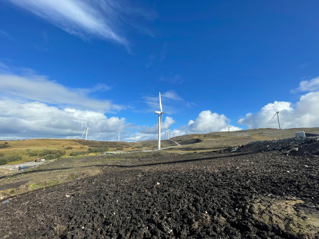
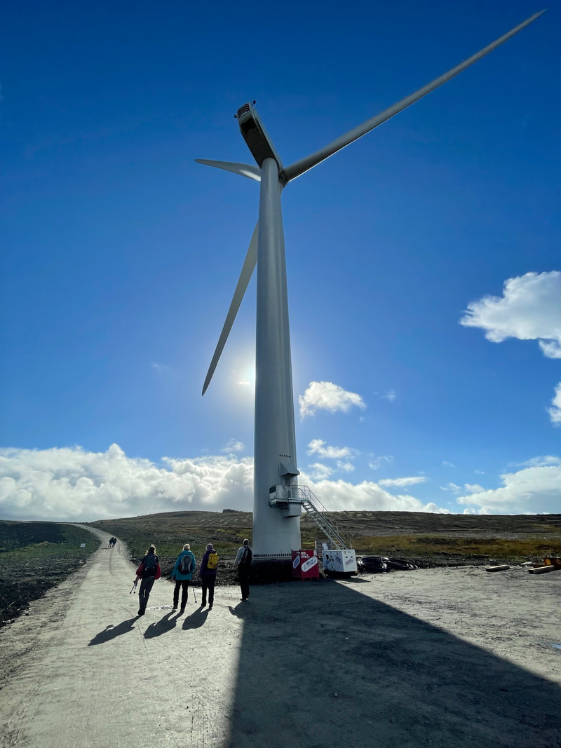
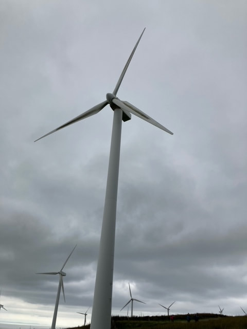
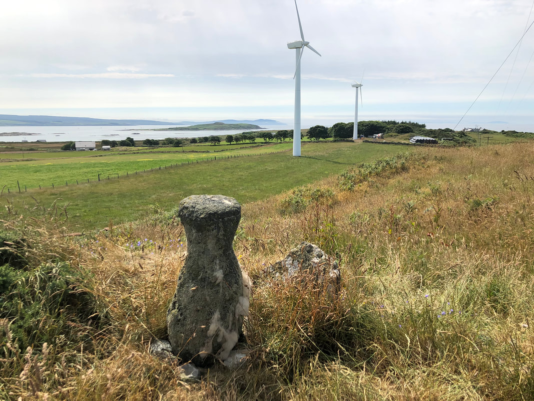
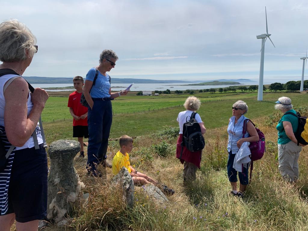
Walk up Barr Glen 3rd October 2021, visiting the ruins of Both Auchadaduies and Blary on Glenbarr Estate and then up by the wind Turbines.
Blary consisted of 2 farms in the 19th century - Mckendrick and McGeachy being the tenants in 1851 but by 1871 a 3 roomed cottage was erected for a shepherd. This cottage was inhabited until the mid 20th century and you can see from the photos that it had electricity.
Upper & Lower Auchadauie, however, was amalgamated with Barr Mains in 1946, remaining as a tenanted farm, (Upper) until then. The ruins of the 'old' house can be seen at the east end which was originally thatched and thenreplaced by the 'new' house, which was slated. Auchadaduie was farmed by McCorkindales at various times from 1692 until 1900 and latterly by the Sheddans


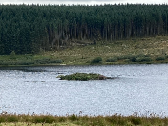
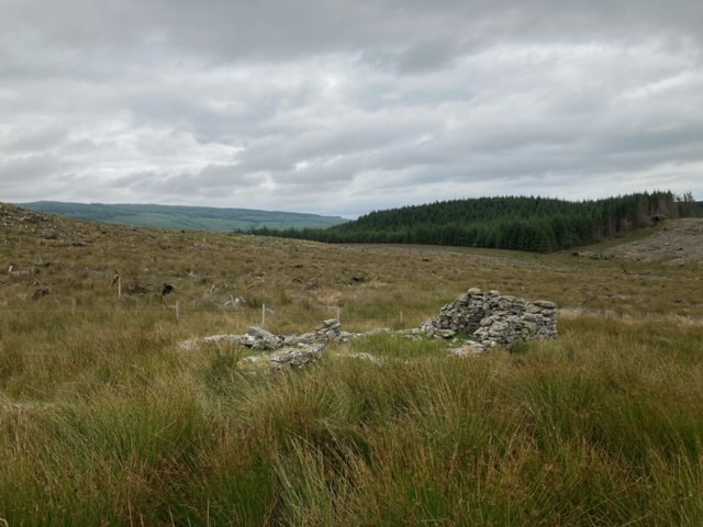
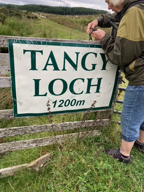
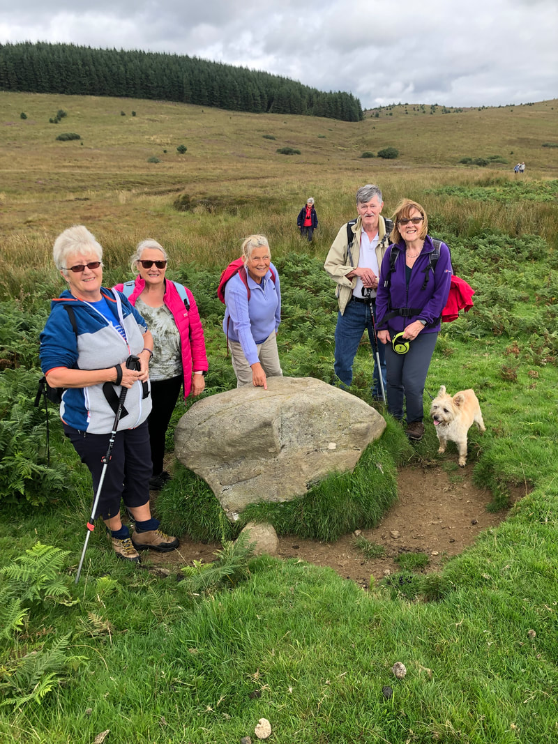
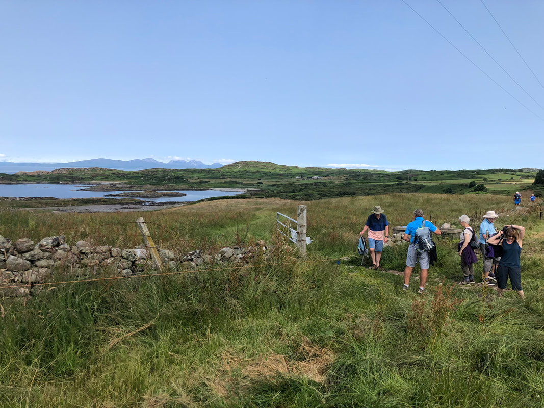
Walk up to Tangy Loch on the 30th August 2021
19th July 2021 Gigha
A large turnout of member's, families and friends joined us, led today by member Elizabeth MacTaggart
A large turnout of member's, families and friends joined us, led today by member Elizabeth MacTaggart


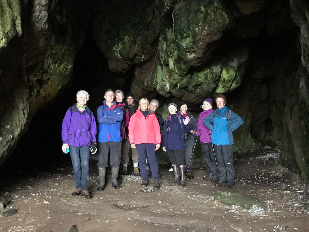
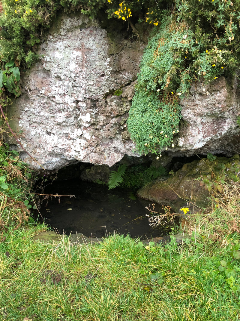
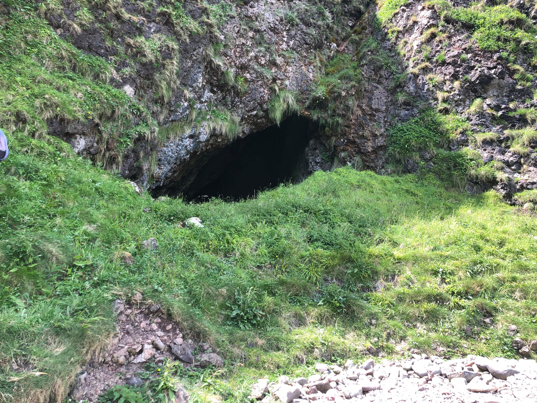
St Kieran's Cave
Members visited here on the 21st June 2021,a lovely sunny afternoon.
Members visited here on the 21st June 2021,a lovely sunny afternoon.


Walk at Beacharr, Beachmeanach, and Achapharick 13/6/2021
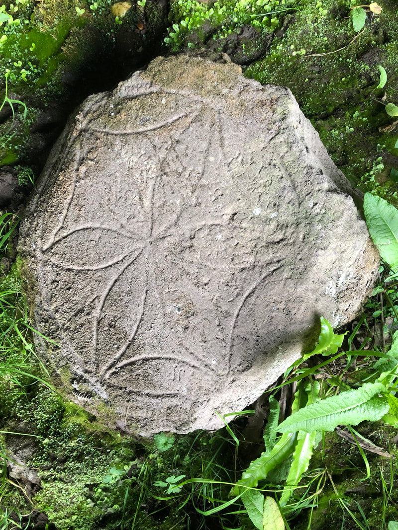
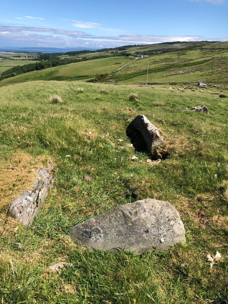
The first 3 photographs below show the standing stone at Beacharr, the tallest in Kintyre and also the chambered cairn situated close by.
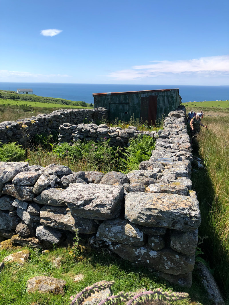
The middle line of photos were taken at Achapharick, a ruined farm, now incorporated with Beachmeanach, the middle photo being what was known as the 'weavers row.
The last photo is known locally as 'Dinosaur Rock' and though not of historical value, it is a fun photo.
Beachmeanach Farm as it is now and farmed by the MacDonald family for over 100 years, originally consisted of 4 farms. High and low Beachmeanch, Achapharick and Taychroman.
The first 3 photographs below show the standing stone at Beacharr, the tallest in Kintyre and also the chambered cairn situated close by.
The middle line of photos were taken at Achapharick, a ruined farm, now incorporated with Beachmeanach, the middle photo being what was known as the 'weavers row.
The last photo is known locally as 'Dinosaur Rock' and though not of historical value, it is a fun photo.
Beachmeanach Farm as it is now and farmed by the MacDonald family for over 100 years, originally consisted of 4 farms. High and low Beachmeanch, Achapharick and Taychroman.


Society visit to 'Old' Drumgarve township
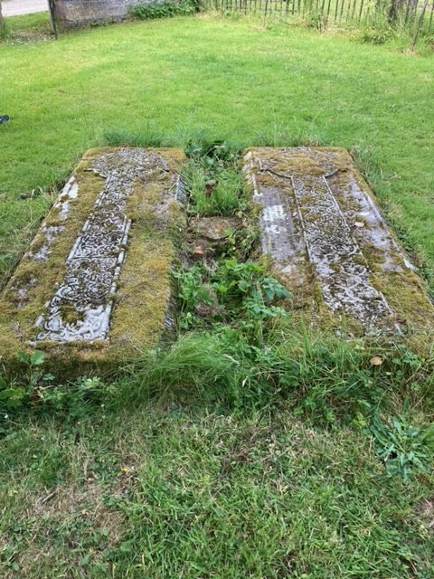
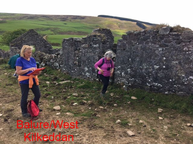
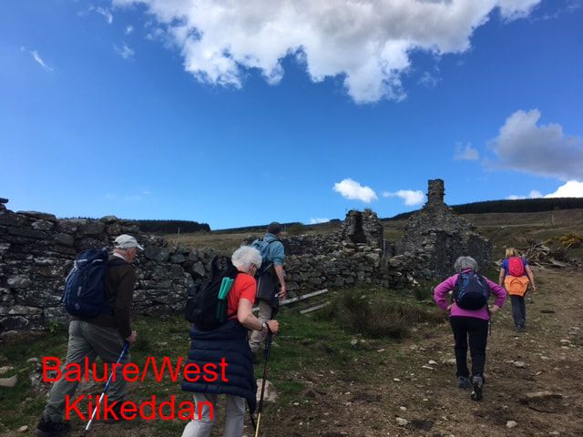
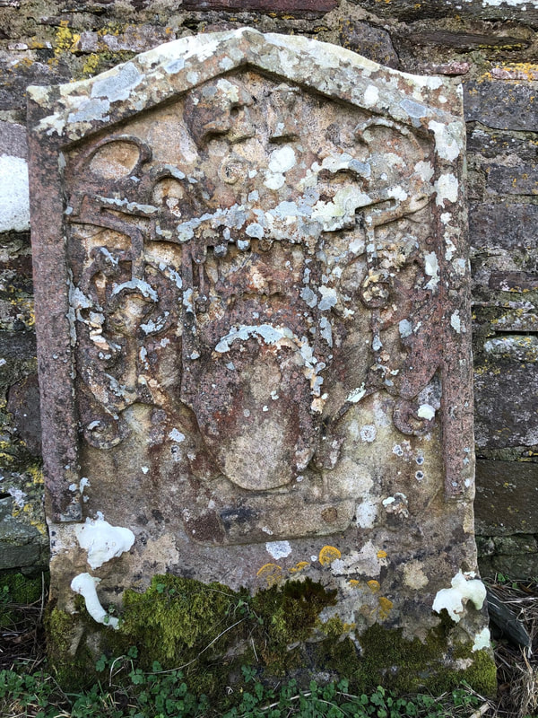
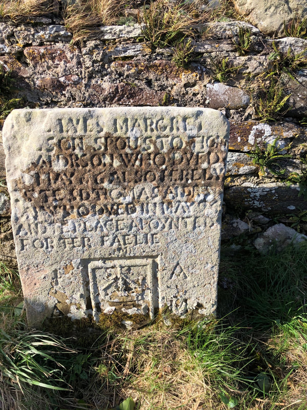
On the 16th May 2021 members of the society had a walk up behind the village of Peninver to the old township of Drumgarve. This township, which housed 5-6 families in the 18th century was abandoned around the 1850’s and it was here that James Templeton was born in 1802 and started the carpet manufacturing business in Glasgow. He died in 1885 and is buried in Glasgow Necropolis, but the company became famous when they built a new factory in Glasgow Green, based on the Doge’s Palace, Venice. It closed in 1979 and is now the business centre ‘Templeton on the Green’. One of the oldest gravestones in nearby Kilchousland Cemetery is in memory of Janet Wilson, spouse to John Templeton 1692. After exploring the extensive ruins and having our picnic lunch, the members took a walk down to the Glenlussa Water and looked over at the ruins of Calliburn Mill. Both places were originally owned by the Duke of Argyll. Walking back up the hill, we passed the old corn kiln and the ‘new’ Drumgarve – originally built as a 3 roomed shepherd’s cottage. Walking back along the opposite side of Lussa River, we passed the former farmhouse of Gartgreillan, which had become abandoned last century but now renovated. Our last stop was at the ruins of West Kilkeddan, locally known as Balure.


|
|
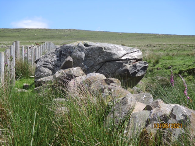
Walk to Achahoirk, 02/05/2021 in brilliant weather
This is an easy one to get to once you know for sure where it is but first I had to do it the hard way. I knew from the map that it lies in the trees a little way up the Clachaig Water from Achaglass on the north side but it is completely hidden by close forestry on all sides. I decided to walk up the glen from the bridge over the burn above Achaglass alongside the Clachaig Water and navigate by the burns coming in from the north, two of which are either side of Achahoirk. I found this quite hard work and had misjudged the distance to the burns. Having slogged so far, I decided to follow the fencing further along on the south side of the burn and try and find Clach a’Gheòidh near a corner in the fence. Having done no research and knowing no Gaelic, I was expecting, if lucky, to find a ruined building. As it happened I came across a large perpendicular rock and guessed that must be it and, according to the Scotland’s Places website (https://scotlandsplaces.gov.uk/digital-volumes/ordnance-survey-name-books/argyll-os-name-books-1868-1878/argyll-volume-60/81) it is recorded as “A pretty large block of rock about 10 feet high & almost perpendicular situated in Clachaig Glen. Signification (Goose’s Stone)”. Thank heavens!
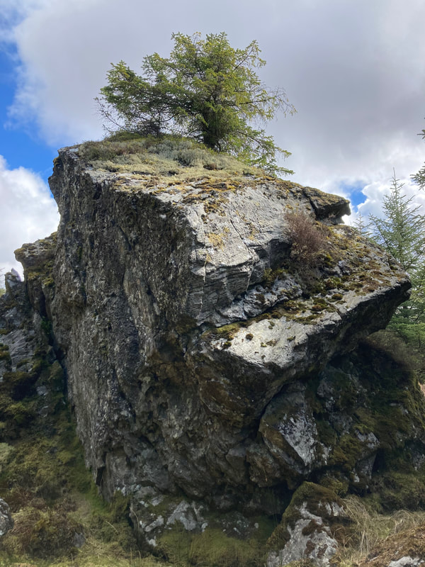
At least I knew exactly where I was and so crossed to the north side of Clachaig Water, followed one of the burns uphill in the forest and shortly came out onto the forestry track a little to the east of a barrel shaped rock at a culvert where the forestry track crosses a burn. The track has been extended to the bridge since my OS Explorer map 356 was published. At the rock I went back down the hill to the left of the burn and came across the remains of a stone wall terminating at the burnside. I followed this into the trees and shortly came across Achahoirk. It took about 5 mins from the barrel shaped rock. It is shown as a ruin on the 1855 OS map and, thanks to Elizabeth Marrison’s research, we know that John McCallum, a lab/shepherd was the last to live in it and it was probably abandoned about the 1850’s . He was there in 1851 and it was uninhabited from 1861 onwards. Despite this there is quite a lot of it left with many of the lintels still in place on substantial walls.
I wasn’t able to find any of the cup-marked rocks marked in the vicinity
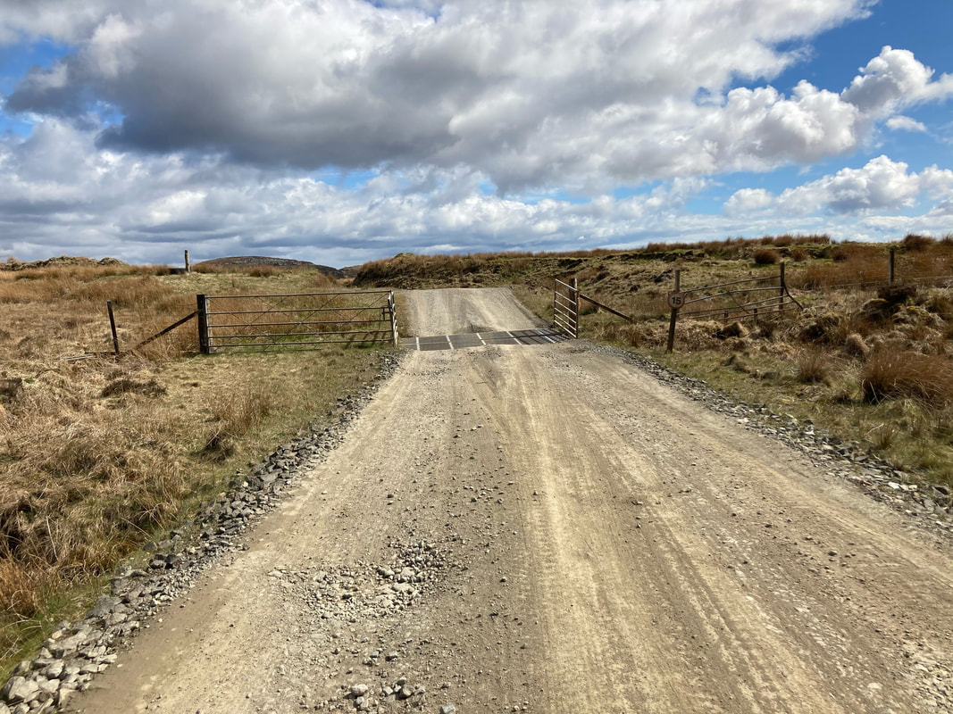
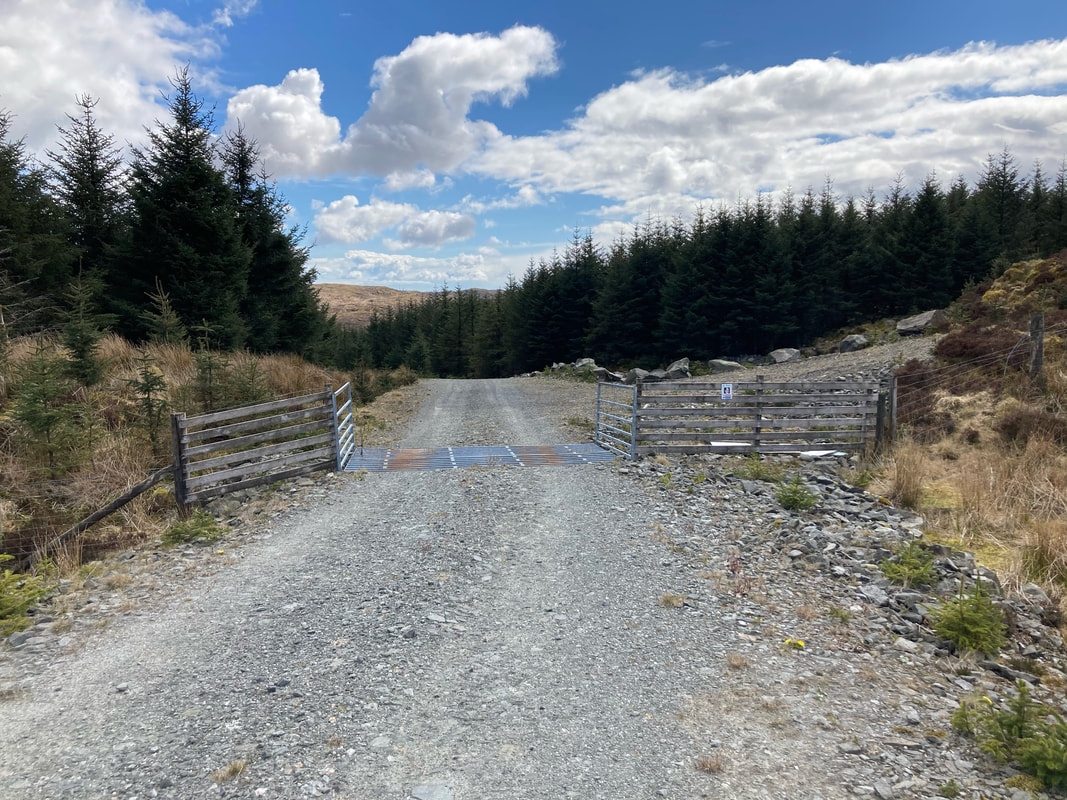
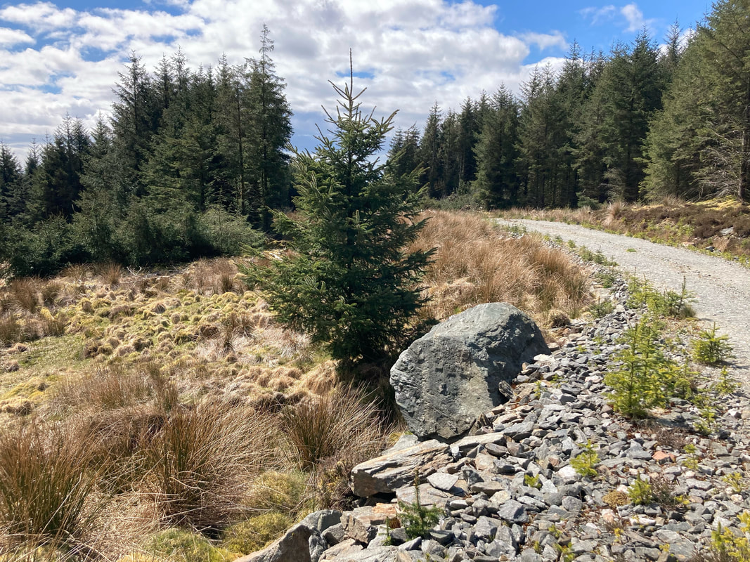
The least strenuous way to get there would be by car (with permission) along the forestry track from the A83 at Killean to the barrel-shaped rock. Alternatively it is an easy though long walk. You pass the ruin of Braids on the right and come to a gate and cattle grid (photo “Gate and cattle grid”). A few yards beyond this you turn right at a junction and a little way further is another gate and cattle grid (photo “Last gate and cattle grid”). There’s a small warning sign on the fence about a quarry but this is just inside the gate to the right and there is no need to go in. From here on there is very low vegetation growing in the centre but it would be drivable in almost any car. Proceed along the track until you see the barrel-shaped boulder on the left hand edge of the track above a culvert. Immediately prior to this on the right is a handy lay-by where you could park.
Another route would be done on foot from the sheepfold above Achaglass, across the bridge to the barrel-shaped rock.
Click on an image to see a caption.
Mike Peacock, May 2021
This is an easy one to get to once you know for sure where it is but first I had to do it the hard way. I knew from the map that it lies in the trees a little way up the Clachaig Water from Achaglass on the north side but it is completely hidden by close forestry on all sides. I decided to walk up the glen from the bridge over the burn above Achaglass alongside the Clachaig Water and navigate by the burns coming in from the north, two of which are either side of Achahoirk. I found this quite hard work and had misjudged the distance to the burns. Having slogged so far, I decided to follow the fencing further along on the south side of the burn and try and find Clach a’Gheòidh near a corner in the fence. Having done no research and knowing no Gaelic, I was expecting, if lucky, to find a ruined building. As it happened I came across a large perpendicular rock and guessed that must be it and, according to the Scotland’s Places website (https://scotlandsplaces.gov.uk/digital-volumes/ordnance-survey-name-books/argyll-os-name-books-1868-1878/argyll-volume-60/81) it is recorded as “A pretty large block of rock about 10 feet high & almost perpendicular situated in Clachaig Glen. Signification (Goose’s Stone)”. Thank heavens!
At least I knew exactly where I was and so crossed to the north side of Clachaig Water, followed one of the burns uphill in the forest and shortly came out onto the forestry track a little to the east of a barrel shaped rock at a culvert where the forestry track crosses a burn. The track has been extended to the bridge since my OS Explorer map 356 was published. At the rock I went back down the hill to the left of the burn and came across the remains of a stone wall terminating at the burnside. I followed this into the trees and shortly came across Achahoirk. It took about 5 mins from the barrel shaped rock. It is shown as a ruin on the 1855 OS map and, thanks to Elizabeth Marrison’s research, we know that John McCallum, a lab/shepherd was the last to live in it and it was probably abandoned about the 1850’s . He was there in 1851 and it was uninhabited from 1861 onwards. Despite this there is quite a lot of it left with many of the lintels still in place on substantial walls.
I wasn’t able to find any of the cup-marked rocks marked in the vicinity
The least strenuous way to get there would be by car (with permission) along the forestry track from the A83 at Killean to the barrel-shaped rock. Alternatively it is an easy though long walk. You pass the ruin of Braids on the right and come to a gate and cattle grid (photo “Gate and cattle grid”). A few yards beyond this you turn right at a junction and a little way further is another gate and cattle grid (photo “Last gate and cattle grid”). There’s a small warning sign on the fence about a quarry but this is just inside the gate to the right and there is no need to go in. From here on there is very low vegetation growing in the centre but it would be drivable in almost any car. Proceed along the track until you see the barrel-shaped boulder on the left hand edge of the track above a culvert. Immediately prior to this on the right is a handy lay-by where you could park.
Another route would be done on foot from the sheepfold above Achaglass, across the bridge to the barrel-shaped rock.
Click on an image to see a caption.
Mike Peacock, May 2021


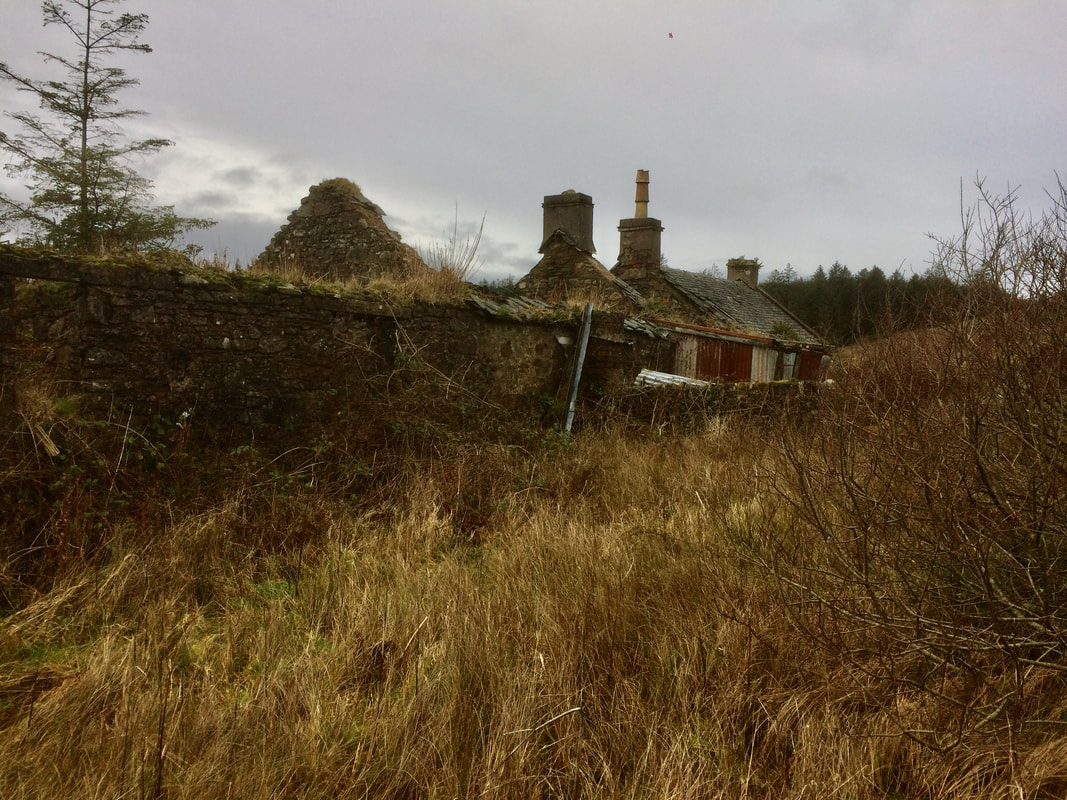
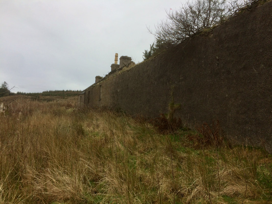
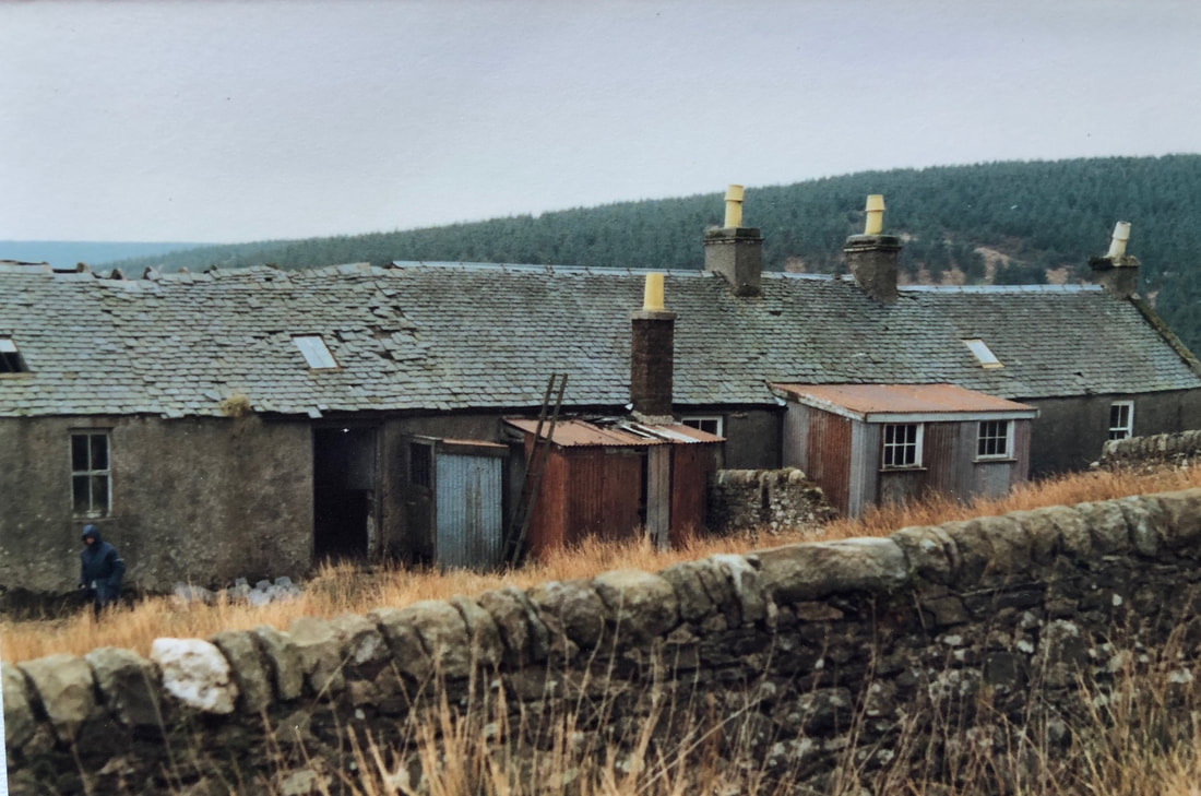
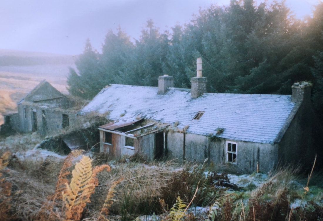
Walk to Arinascavach, December 2020
I’d always wanted to visit the ruin at Scavach (as locals call the place) and thought I had done with my grandson in 2009 but lately learned that I had in fact visited Kerranbeg in error. Some error, because I did intentionally visit Kerranbeg a couple of years later, approaching it from the East and failed to recognise the same place!
I was part of a group that had tried to find it last season, taking the long forestry track route from Dalbuie. Although we must have been within half a mile of it, re-planted forestry had grown so as to hide it from the track and a foray down the hillside along a firebreak failed to see it and the attempt was abandoned.
This time I parked the car at Dalbuie and again took the forestry track to a point directly due North above the ruin. As expected, there was no view of it so I walked further along the track to a point where it crosses a burn that flows downhill to the West of Scavach. I left the track here and took the Eastern bank of the burn. After ten minutes of heavy going I caught site of the ruin a few hundred hards away to my left, exactly as expected. The ground was very hard going and it took another thirty minutes to reach the ruin. It was much ruined but, never having been there before, I had no idea how much more dilapidated it had become since it had last been used as an unofficial outdoor centre. I took some photos and these are shown here together with some dating from the 1920s, 1981 and 2003 provided by Elizabeth Marrison. Click on an image to see a caption.
Having no wish to slog back up hill to the forestry track, I went down the glen with difficulty and followed the Kerran burn and left it below Kerranbeg. Half way up the North side of the glen facing Kerranbeg it's possible to see both Kerranbeg and Scavach in the distance.
Mike Peacock, December 2020


Lochoradale and Glenrea walk March 2020

Trench Point, Kilchousland & Island Muller February 2020
Lussa to Ballochgair & Kildonan Jan 2020


Keil to Low Gartvain and back to Keil Nov 2019